- Mount Jedediah Smith
-
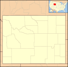
Mount Jedediah Smith Grand Teton National Park and Caribou-Targhee National Forest, Teton County, Wyoming, USA Elevation 10,610 ft (3,234 m) [1] Prominence 450 ft (137 m) [1] Location Range Teton Range Coordinates 43°40′56″N 110°53′31″W / 43.68222°N 110.89194°WCoordinates: 43°40′56″N 110°53′31″W / 43.68222°N 110.89194°W[2] Topo map USGS Mount Bannon Climbing Easiest route Scramble Mount Jedediah Smith (10,610 feet (3,230 m) is located in the Teton Range, on the border of Caribou-Targhee National Forest and Grand Teton National Park in the U.S. state of Wyoming.[3] Mount Jedediah Smith is about .53 miles (0.85 km) WSW of Mount Meek.[1]
References
- ^ a b c "Mount Jedediah Smith, Wyoming". Peakbagger.com. http://www.peakbagger.com/peak.aspx?pid=31385. Retrieved 2011-09-18.
- ^ "Mount Jedediah Smith". Geographic Names Information System, U.S. Geological Survey. http://geonames.usgs.gov/pls/gnispublic/f?p=gnispq:3:::NO::P3_FID:1600594. Retrieved 2011-09-18.
- ^ TopoQwest (United States Geological Survey Maps). Mount Bannon, WY (Map). http://www.topoquest.com/map.php?lat=43.68215&lon=-110.89188&datum=nad83&zoom=4. Retrieved 2011-09-18.
Categories:- Mountains of Grand Teton National Park
- Wyoming geography stubs
Wikimedia Foundation. 2010.

