- Mount Hood Avenue (MAX station)
-
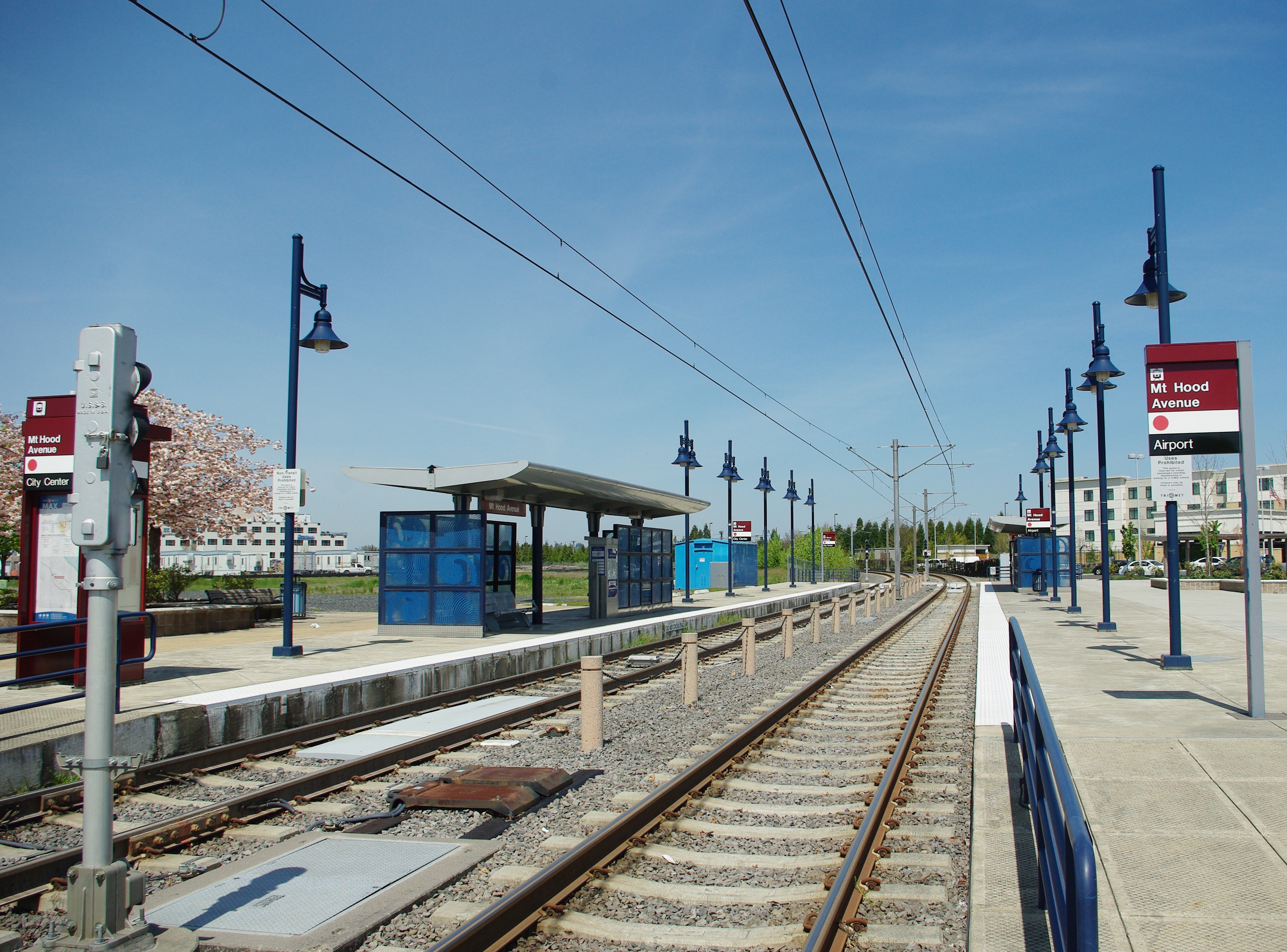
Mount Hood Avenue
MAX light rail station
Platform viewed from the eastStation statistics Address Northeast Cascades Parkway & Mount Hood Avenue
Portland, ORLines MAX Light Rail Platforms side platforms Tracks 2 Other information Opened September 10, 2001 Accessible 
Owned by TriMet Fare zone 3 Services Preceding station MAX Light Rail Following station toward Beaverton Transit CenterRed Line Portland International AirportTerminusThe Mount Hood Avenue station is a light rail station on the MAX Red Line in Portland, Oregon. It is the 3rd stop north on the Airport MAX.
It is located at northern end of the Cascade Station development, a planned mixed-use development. The Cascade Station area is currently under development, and the traffic for this MAX station should increase once the area is completely built up.
External links
 Media related to Mount Hood Avenue at Wikimedia Commons
Coordinates: 45°34′38″N 122°34′02″W / 45.5771°N 122.567147°W
Categories:- MAX stations
- MAX Red Line
Wikimedia Foundation. 2010.