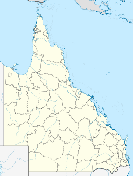
- Moola, Queensland
-
Moola
QueenslandPopulation: 325 (2006 Census)[1] Established: 1800's (approx.) Postcode: 4406 Coordinates: 27°05′53″S 151°31′48″E / 27.0980°S 151.5300°ECoordinates: 27°05′53″S 151°31′48″E / 27.0980°S 151.5300°E Elevation: 460 m (1,509 ft) Location: - 203 km (126 mi) NW of Brisbane
- 38 km (24 mi) NE of Dalby
- 19 km (12 mi) N of Bowenville
- 14 km (9 mi) SE of Kaimkillenbun
LGA: Western Downs Regional Council State District: Nanango Federal Division: Maranoa Moola is a town in the Western Downs Regional Council Local government area in Queensland, Australia, and is located 20km north of the Warrego Highway east of Dalby. At the 2006 census, Moola had a population of 325.[1]
Notes
- ^ a b Australian Bureau of Statistics (25 October 2007). "Moola (Wambo Shire) (State Suburb". 2006 Census QuickStats. http://www.censusdata.abs.gov.au/ABSNavigation/prenav/LocationSearch?collection=Census&period=2006&areacode=SSC36775&producttype=QuickStats&breadcrumb=PL&action=401. Retrieved 13 June 2011.
- ^ http://www.wdrc.qld.gov.au/
- ^ http://www.ecq.qld.gov.au/state.aspx
Categories:- Towns in Queensland
- Queensland geography stubs
Wikimedia Foundation. 2010.

