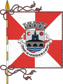
Montemor-o-Novo Municipality
- Montemor-o-Novo Municipality
-
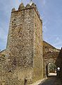
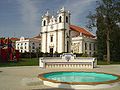
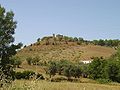
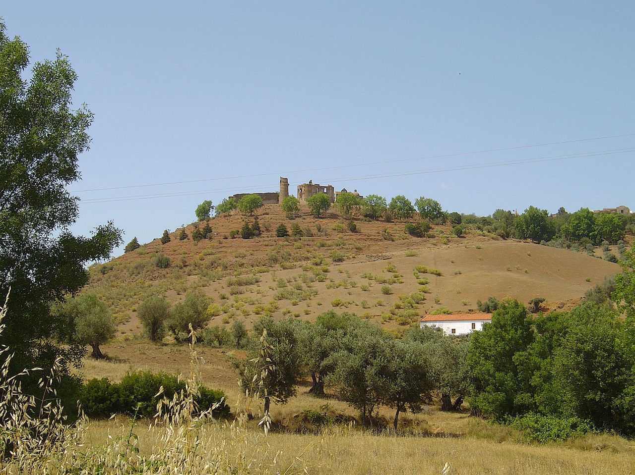
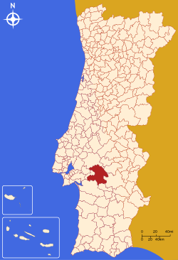
Montemor-o-Novo (Portuguese pronunciation: [mõtɨˈmɔɾ u ˈnovu]) is a municipality in Portugal with a total area of 1233.0 km² and a total population of 18,485 inhabitants. The city itself has a population of 12,000.[1]
The municipality is composed of 10 parishes, and is located in the District of Évora.
The present Mayor is Carlos Manuel Pinto Sá, elected by the Unitarian Democratic Coalition.
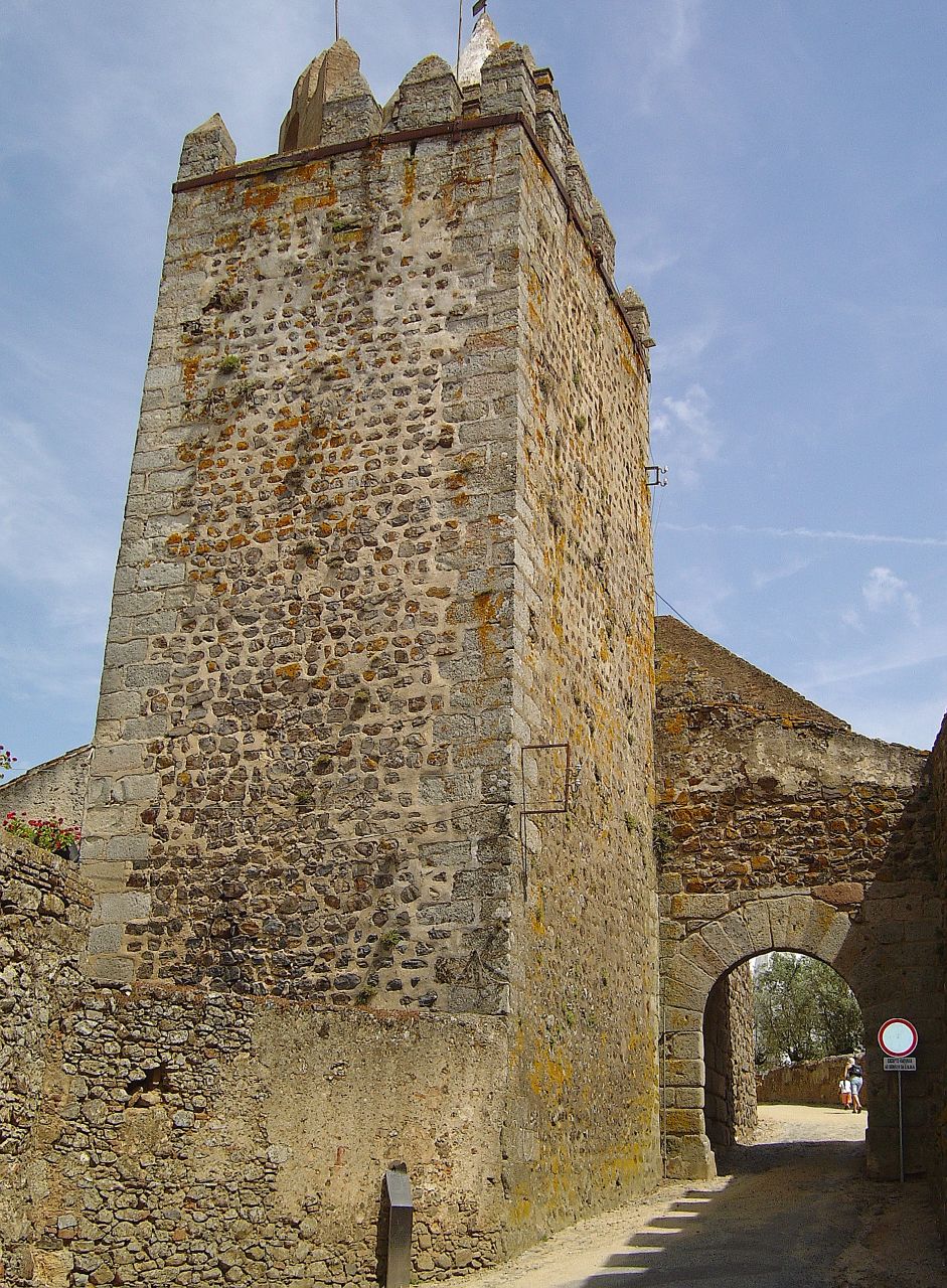
The municipal holiday is March 8, after Saint John of God, a 16th century saint, who was born in Montemor-o-Novo.
Parishes
- Cabrela
- Ciborro
- Cortiçadas
- Foros de Vale de Figueira
- Lavre
- Nossa Senhora da Vila
- Nossa Senhora do Bispo
- Santiago do Escoural
- São Cristóvão
- Silveiras
References
- ^ UMA POPULAÇÃO QUE SE URBANIZA, Uma avaliação recente - Cidades, 2004 Nuno Pires Soares, Instituto Geográfico Português (Geographic Institute of Portugal)
External links
| v · Évora District |
|
Alandroal · Arraiolos · Borba · Estremoz · Évora · Montemor-o-Novo · Mora · Mourão · Portel
Redondo · Reguengos de Monsaraz · Vendas Novas · Viana do Alentejo · Vila Viçosa |
 |
|
Wikimedia Foundation.
2010.
Look at other dictionaries:
Montemor-o-Novo — Infobox Municipality pt official name = Montemor o Novo image coat of arms = MMN1.png Region = Alentejo Subregion = Alentejo Central District = Évora Mayor name = Carlos Sá Mayor party = CDU area total = 1,232.9 population total = 18,540… … Wikipedia
Nossa Senhora do Bispo (Montemor-o-Novo) — Coordinates: 38°42′26.18″N 8°13′15.72″W / 38.7072722°N 8.2210333°W / 38.7072722; 8.2210333 … Wikipedia
Mourão Municipality — Mourão Municipality Flag … Wikipedia
Mora Municipality, Portugal — Mora Municipality Flag … Wikipedia
List of postal codes in Portugal — Aveiro districtMealhada municipality*3050 Antes *3050 Barcouço *3050 Casal Comba *3050 Luso *3050 Mealhada *3050 Pampilhosa *3050 Vacariça *3050 Ventosa do BairroMurtosa municipality*3870 Bunheiro *3870 Monte *3870 Murtosa *3870 TorreiraOliveira… … Wikipedia
Monuments of Portugal — The Monuments of Portugal were constructed throughout the Portuguese territory, and date back to the period of pre historic settlement of occupation. Subsequently, the region that is today Portugal has been colonized by many civilizations, which… … Wikipedia
Administrative divisions of Portugal — The border between the municipalities of Lisbon and Oeiras; shared also by the civil parishes of Santa Maria de Belém (Lisbon) and Algés (Oeiras) Administratively, Portugal is a unitary and decentralized State. Nonetheless, operationally, it is… … Wikipedia
List of cities in Portugal — This is a list of cities in Portugal. In Portugal, a city (Portuguese: cidade) is an honorific term given to locations that meet several criteria, such as having a minimum number of inhabitants, good infrastructure (schools, medical care,… … Wikipedia
Liste des municipalités du Portugal — Voici une liste des municipalités du Portugal. Ces concelhos ou municípios sont un échelon administratif intermédiaire entre la collectivité territoriale de base, la paroisse civile (freguesia en portugais) et l échelon moyen, celui du district.… … Wikipédia en Français
Anexo:Municipios de Portugal — Ésta es una lista de los municipios de Portugal. Portugal está dividido en 18 distritos (en portugués, distritos) y 2 regiones autónomas, Azores y Madeira. Los distritos y las regiones autónomas se subdividen en 308 municipios (en portugués… … Wikipedia Español
 Portugal