- Mohave Valley
-
For the Arizona city in the Mohave Valley, Lower Colorado River, see Mohave Valley, Arizona.
Mohave Valley Valley 
Country United States States Arizona, California, Nevada Region Lower Colorado River Valley
(southeast)-Mojave Desert
((northwest)-Sonoran Desert)Districts Mohave County AZ, San Bernardino County CA, Clark County, NV Borders on Colorado River-W
Black Mesa (western Arizona)-E
Black Mountains (Arizona)-NE
Mohave Mountains-S
Newberry Mountains (Nevada)-NW
Dead Mountains-W & NW
Sacramento Mountains (California)-SWCity Mohave Vallley, AZ–Needles, CA
(Bullhead City, AZ–Golden Shores, AZ)Landmarks Boundary Cone, Fort Mojave Indian Reservation River Colorado River Coordinates 34°57′25″N 114°35′5″W / 34.95694°N 114.58472°W Highest point Conical Peak Lowest point Topock Marsh - location Topock, AZ
(southeast valley-Colorado R. &
Topock Gorge)- elevation 500 ft (152 m) - coordinates 34°46′35″N 114°30′52″W / 34.77639°N 114.51444°W Length 25 mi (40 km), N-S Width 10 mi (16 km) 

The Mohave Valley is a small valley, mostly on the east shore of the south-flowing Colorado River in northwest Arizona; the valley borders southeast California's San Bernardino County; also, the north of the valley borders extreme southeast Clark County, Nevada. The valley is in southwest Mohave County, Arizona and is a region at the intersection of the southeast Mojave and northwest Sonoran Deserts.
The valley extends into the three states, and the Fort Mojave Indian Reservation extends into them as well. On the west, the reservation borders the Dead Mountains of California which border the tri-state intersection point.
Southwest Mohave Valley is approached steeply from the west, and shows its greenery, oasis-like appearance along the Colorado River. The drive downhill is towards Needles at the southwest of the valley. Views from the descending 15-mile (24 km) long road, Interstate 40 in California parallels the descent of Piute Wash to the north as it traverses the southern perimeter of the Dead Mountains.
Contents
Mohave Valley
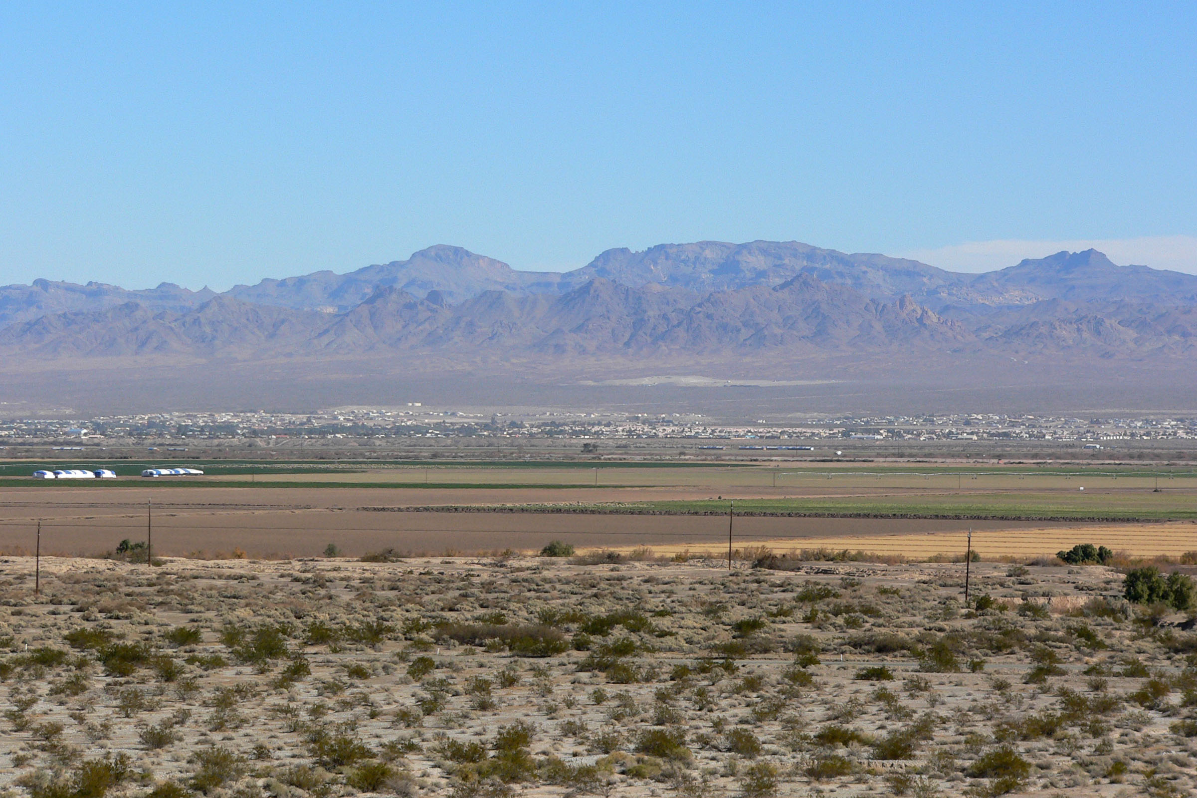
Mohave Valley is a 25-mile (40 km) long, north-south trending valley and up to 10 miles (16 km) wide at some areas. Mohave Valley, Arizona, in the center of the reservation, is at the center point of the valley. Bullhead City is at the northern perimeter of the valley; Needles is on the southwest border of the valley in California. Downstream, and southeast, near the southern valley perimeter is the Topock Marsh in Arizona, and also on the southern perimeter, Interstate 40 in Arizona as it ascends uphill out of the Sacramento Wash, and eventually enters the entire north-south Sacramento Valley which lies on the east, southeast, and partial south of the Black Mountains.
Mohave Valley, Arizona, town center of the reservation, is located at 34°57′25″N 114°35′5″W / 34.95694°N 114.58472°W; the town center is at the valleys center, and slightly west, closer to the Colorado River, the valley's west perimeter in many parts. The Boundary Cone landmark, lies east, at the northwest perimeter of the Black Mesa (western Arizona), a subsection mountain region at the southern end of the Black Mountains.
Water and watersheds
Arizona, southeast & east-(Sacramento Wash & Valley)
The southern end of the valley begins elevated regions, with the Mohave Mountains directly south, and Dutch Flat, east of the Mohave Mountains, which drains northwest into Sacramento Wash. The southeast of the valley meets the outfall of Sacramento Wash, and associated drainage plains; Sacramento Valley itself is mostly east and south of the Black Mesa section at the south of the Black Mountains (Arizona); the Sacramento Wash turns due west, and follows Interstate 40 in Arizona as it turns west and parallels the wash to meet Needles at the Colorado River; it is also the southern drainage outfall point into the Topock Marsh, at Topock, eastern shore of the Colorado River, in the southeast valley. Other washes drain through the eastern Mohave Valley plains and foothills into the Topock Marsh from the southwest of the Black Mountains, the extensive range which goes north 75 miles (121 km) to Lake Mead.
Nevada, Piute Wash & Valley-(northwest)
While in Arizona the Sacramento Wash drains the Sacramento Valley southwest of Kingman, in Nevada the Piute Wash drains the Piute Valley of southeast Nevada. A separate drainage lies between them on the Colorado River, the Havasu-Mohave Lakes Drainage.[1] These three drainages, the west, center, and east all drain into the Mohave Valley region.
-

Mohave Valley (north) with Boundary Cone, center-right
-
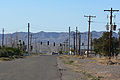
Mohave Valley, Arizona
-

View east-northeast of Needles, Mohave Valley, & Black Mountains (Arizona)
See also
References
External links
Mohave Valley
- area map; Mohave Valley, Colorado River, Bullhead City, AZ, Meedles, CA, Warm Springs Wilderness, Sacramento Valley, Whipple Mountains; from: Warm Springs Wilderness at Public Lands
Watersheds
Categories:- Valleys of the Mojave Desert
- Valleys of the Lower Colorado River Valley
- Valleys of Arizona
- Valleys of California
- Valleys of Nevada
- Landforms of Mohave County, Arizona
- Valleys of San Bernardino County, California
- Landforms of Clark County, Nevada
-


Wikimedia Foundation. 2010.