- Moel Fferna
-
Moel Fferna 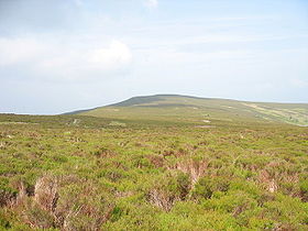
Moel Fferna from Vivod Mountain.Elevation 631 m (2,070 ft) Listing Hewitt, Nuttall Location Location Denbighshire / Wrexham,  Wales
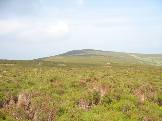
WalesRange Berwyn range Topo map OS Landranger 125 OS grid SJ077346 Moel Fferna is a mountain in North Wales and forms part of the Berwyn range. It is the most northern outpost of the range. The summit is covered in deep heather and has a shelter carin.
A trig point used to mark the summit, but has since been destroyed. To the south is Pen Bwlch Llandrillo, followed by Cadair Bronwen.[1]
References
- ^ Nuttall, John & Anne (1999). The Mountains of England & Wales - Volume 1: Wales (2nd edition ed.). Milnthorpe, Cumbria: Cicerone. ISBN 1-85284-304-7.
External links
Coordinates: 52°54′03″N 3°22′25″W / 52.90089°N 3.37365°W
Categories:- Hewitts of Wales
- Mountains and hills of north Wales
- Nuttalls
- Clwyd geography stubs
Wikimedia Foundation. 2010.