- Moder (river)
-
Moder 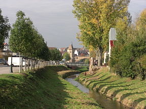
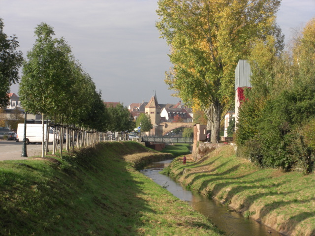
The Moder at HaguenauOrigin Moderfeld
48°53′44″N 07°18′58″E / 48.89556°N 7.31611°EMouth Rhine
48°50′13″N 08°06′12″E / 48.83694°N 8.10333°ECoordinates: 48°50′13″N 08°06′12″E / 48.83694°N 8.10333°EBasin countries France Length 93 km (58 mi) Source elevation 330 m (1,080 ft) Mouth elevation 115 m (377 ft) Avg. discharge 16.6 m3/s (590 cu ft/s) at mouth Basin area 1,720 km2 (660 sq mi) The Moder (French: la Moder, German: die Moder) is a 93 km (58 mi) long river in northeastern France, left tributary of the river Rhine. Its source is near the hamlet Moderfeld, in the commune of Zittersheim. It joins the Rhine near the Iffezheim Lock, in Germany.
Notes
- This article is based on the equivalent article from the French Wikipedia, consulted on January 21st 2009.
External links
Categories:- Bas-Rhin geography stubs
- Rhine basin
- Rivers of France
Wikimedia Foundation. 2010.