- Minas de Matahambre
-
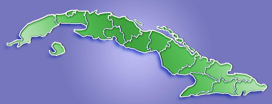
Minas de Matahambre — Municipality — Location of Minas de Matahambre in Cuba

Coordinates: 22°34′56″N 83°56′57″W / 22.58222°N 83.94917°WCoordinates: 22°34′56″N 83°56′57″W / 22.58222°N 83.94917°W Country  Cuba
CubaProvince Pinar del Río Area[1] - Total 858 km2 (331.3 sq mi) Elevation 115 m (377 ft) Population (2004)[2] - Total 34,419 - Density 40.1/km2 (103.9/sq mi) Time zone EST (UTC-5) Area code(s) +53-82 Minas de Matahambre is a municipality and city in the Pinar del Río Province of Cuba.
It was declared a National Monument of Cuba.[3]
The municipality faces the Gulf of Mexico to the north, where the cays of the Colorados Archipelago are developed off-shore.
Demographics
In 2004, the municipality of Minas de Matahambre had a population of 34,419.[2] With a total area of 858 km2 (331 sq mi),[1] it has a population density of 40.1 /km2 (104 /sq mi).
See also
References
- ^ a b Statoids (July 2003). "Municipios of Cuba". http://www.statoids.com/ycu.html. Retrieved 2007-10-07.
- ^ a b Atenas.cu (2004). "2004 Population trends, by Province and Municipality". Archived from the original on 2007-09-27. http://web.archive.org/web/20070927111826/http://www.atenas.inf.cu/todo/Estadisticas/TABLA+No_3balance.htm. Retrieved 2007-10-07. (Spanish)
- ^ National Council for Cultural Heritage. "National Monuments in Cuba". http://www.cnpc.cult.cu/cnpc/monumen/Pag002.htm. Retrieved 2007-10-09. (Spanish)
Consolación del Sur · Guane · La Palma · Los Palacios · Mantua · Minas de Matahambre · Pinar del Río · Sandino · San Juan y Martínez · San Luis · Viñales Categories:
- Populated places in Cuba
- Cuba geography stubs
Wikimedia Foundation. 2010.