- Wetterspitzen
-
This article is about several mountains in the Wetterstein range. For other mountains with this name, see Wetterspitze.
The Wetterspitzen 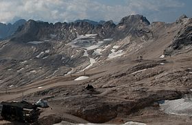
The Wetterspitzen as part of the mountain ridge. Left: the Wetterwandeck; right: centre of the Eastern Wetterspitze: further right: the striking Middle Wetterspitze; far right: the Northern Wetterspitze.Elevation 2,750 m (9,022 ft) Location Location in the Alps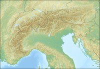
 The Wetterspitzen
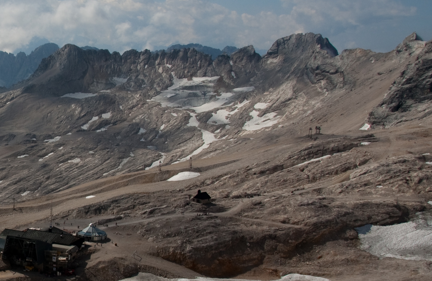
Location Border between Austria (Tyrol) and Germany (Bavaria) Range Northern Limestone Alps (Wetterstein Mountains) Coordinates 47°24′1″N 10°58′12″E / 47.40028°N 10.97°ECoordinates: 47°24′1″N 10°58′12″E / 47.40028°N 10.97°E Climbing Easiest route From the Zugspitzplatt The Wetterspitzen are three of the rocky peaks on a mountain ridge in the Wetterstein mountains in the central part of the Eastern Alps in Germany. The lie two kilometres, as the crow flies, southwest of Germany's highest peak, the Zugspitze, on the border between the Austrian province of Tyrol and the German state of Bavaria. The Wetterspitzen form the southwest perimeter of the Zugspitze ledge (Zugspitzplatt); below and to the east is the ski region on the Schneeferner with its research station, the Schneefernerhaus.
The three peaks are the:
- Northern Wetterspitze (Nördliche Wetterspitze) - 2,746 metres (9,009 ft) high,
- Southern or Middle Wetterspitze (Südliche (Mittlere) Wetterspitze} - 2,750 metres (9,020 ft) high - and the
- Eastern Wetterspitze (Östliche Wetterspitze) - 2,668 metres (8,753 ft) high.
Base
A possible base for climbing the Wetterspitzen is the SonnAlpin restaurant (2,600 metres (8,500 ft)) on the Zugspitze Ledge, the terminal station of the Bavarian Zugspitze Rack Railway.
Easiest routes
From the Zugspitze ledge (Zugspitzplatt):
- an easy climb, according to the literature, (UIAA grade II) in half an hour to the Northern Wetterspitze.
- in two hours (UIAA II) to the Middle Wetterspitze,
- in half an hour with any difficult sections (UIAA I) to the Eastern Wetterspitze
In addition there are various climbing routes up to UIAA grade V, starting from west of Ehrwald.
Sources and maps
- Stefan Beulke: AVF Wetterstein, Rother Verlag München (1996), ISBN 3-7633-1119-X
- Alpenvereinskarte 1:25.000, Blatt 4/2, Wetterstein- und Mieminger Gebirge
Categories:- Mountains of the Alps
- Mountains of Bavaria
- Mountains of Tyrol
- Wetterstein Mountains
- Two-thousanders

Wikimedia Foundation. 2010.