- Miami Municipal Airport
-
Miami Municipal Airport 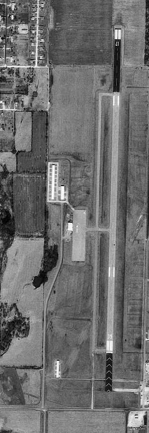
1995 USGS Photo IATA: MIO – ICAO: KMIO – FAA LID: MIO Summary Airport type Public Owner City of Miami Location Miami, Oklahoma Elevation AMSL 808 ft / 246 m Coordinates 36°54′27″N 094°53′17″W / 36.9075°N 94.88806°WCoordinates: 36°54′27″N 094°53′17″W / 36.9075°N 94.88806°W Runways Direction Length Surface ft m 17/35 5,020 1,530 Asphalt Miami Municipal Airport (IATA: MIO, ICAO: KMIO, FAA LID: MIO) is a public airport located within city limits approximately 2 miles (3.2 km) north-northwest of central Miami, Oklahoma. It provides general aviation service.
Contents
History
The airport was opened during December 1937. Originally, the airport had 2 3,200' concrete runways, aligned north-south (17/35) and a secondary aligned northeast-southwest (05/22).
In the summer of 1941, the facility was taken over by the United States Army Air Force and was used initially as part of the British Flying Training School program. This training was performed as part of the Lend-Lease act where Royal Air Force (RAF) flying cadets were provided a 20-week basic flying course taught by civil contractors. Flight training was provided by Spartan Aircraft Company, Flying training was performed with Fairchild PT-19s as the primary trainer. Also had several PT-17 Stearmans and a few P-40 Warhawks assigned.
In November 1942, RAF training ended at Miami and the airfield became a primary (stage 1) pilot training airfield assigned to AAF Flying Training Command, Gulf Coast Training Center (later Central Flying Training Command). The civil instructors were retained under USAAF control.
There were three known auxiliary airfields associated with Miami Airport for emergency and overflow landings. All were located in the Miami area. Training ended in mid-1944 with the drawdown of AAFTC's pilot training program, and the airfield was returned to civil control.
Today, there is no evidence of the secondary runway nor the military airfield or containment area.
Accidents and incidents
On November 8,2010 a small plane crash landed at the airport. No one was injured as the Cessna 150 landed in a plowed field and sustained a minor damage.[1]
See also
References
 This article incorporates public domain material from websites or documents of the Air Force Historical Research Agency.
- Shaw, Frederick J. (2004), Locating Air Force Base Sites History’s Legacy, Air Force History and Museums Program, United States Air Force, Washington DC, 2004.
External links
- Resources for this airport:
- AirNav airport information for KRQO
- ASN accident history for RQO
- FlightAware airport information and live flight tracker
- NOAA/NWS latest weather observations
- SkyVector aeronautical chart for KRQO
- FAA current RQO delay information
 Army Air Forces Training Command
Flying Training Flying Schools Eastern Flying Training Command · Central Flying Training Command · Western Flying Training CommandSpecialized Schools Bombardier · Contract Flying · Glider Training · Gunnery · Navigator
Technical Training Eastern Technical Training Command · Central Technical Training Command · Western Technical Training CommandCategories:- 1937 establishments in the United States
- USAAF Contract Flying School Airfields
- Airfields of the United States Army Air Forces in Oklahoma
- Buildings and structures in Ottawa County, Oklahoma


Wikimedia Foundation. 2010.