- Meshgin Shahr
-
For the administrative subdivision, see Meshgin Shahr County.
Meshgin Shahr
مشگين شهر— city — Arshoq Castle, a.k.a. Kohneh Qaleh ("old castle") in Meshgin Shahr. Mount Sabalan is in the background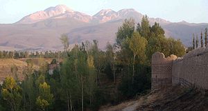
 Meshgin Shahr
Coordinates: 38°23′56″N 47°40′55″E / 38.39889°N 47.68194°ECoordinates: 38°23′56″N 47°40′55″E / 38.39889°N 47.68194°E Country  Iran
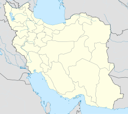
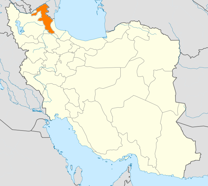
IranProvince Ardabil County Meshgin Shahr Bakhsh Central Population (2006) - Total 61,296 Time zone IRST (UTC+3:30) - Summer (DST) IRDT (UTC+4:30) Website www.meshkincity.org Meshgin Shahr at GEOnet Names Server Meshgin Shahr (Persian: مشگين شهر, also Romanized as Meshgīn Shahr and Meshkīn Shahr, also simply Mishgin; formerly Khiav (Persian: خياو), also Romanized as Kheyāv, Khīāv, Khiov, Khīyāv, and Khiyov)[1] is a city in and the capital of Meshgin Shahr County, in Ardabil Province, Iran. At the 2006 census, its population was 61,296, in 14,920 families.[2]
The city is 839 kilometres (521 mi) from Tehran. Being near the high Sabalan Mountains it enjoys a moderate mountainous climate. Formerly, it was known as "Khiav". The Sabalan summit can be seen in the south of the city with an eye catching scenery. The antiquity of the city dates back to the early centuries of Islam but in the Safavid age it was thriving even more.
The city is well-known for its Azerbaijani rugs and its mineral springs. Also Iran's first geothermal power station, Meshkinshahr Geothermal Power Plant is situated in outskirts of this city.
References
- ^ Meshgin Shahr can be found at GEOnet Names Server, at this link, by opening the Advanced Search box, entering "-3074756" in the "Unique Feature Id" form, and clicking on "Search Database".
- ^ "Census of the Islamic Republic of Iran, 1385 (2006)" (Excel). Islamic Republic of Iran. http://www.amar.org.ir/DesktopModules/FTPManager/upload/upload2360/newjkh/newjkh/24.xls.
External links
 Ardabil Province
Capital 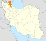
Counties and Cities Ardabil · HirBileh Savar CountyBileh Savar · JafarabadGermi · Tazeh Kand-e AgutiKhalkhal · Hashatjin · KolowrKiviMeshgin Shahr · Lahrud · RaziNir · KuraimParsabad · Aslan DuzSareyn CountyLandmarks Sardabe Waterfall · Complex of Sheikh Safi-ad-din Ardabili · Emamzadeh Klouver · Ardabil Bazaar · Alvares (ski resort) · Shorabil · Sabalan · Neor lake · Shapur II Bas-relief of Meshkinshar · Haftkhaneh Cave · Sarein springs · Ardabil Anthropology Museum · Qarah Soo BridgeCategories:- Meshgin Shahr County
- Cities in Iran
- Cities in Ardabil Province
- Ardabil Province geography stubs


Wikimedia Foundation. 2010.