- Melandra, Paphos
-
Melandra
ΜελάνδραLocation in Cyprus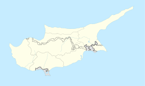
 Melandra
Coordinates: 34°59′21″N 32°31′30″E / 34.98917°N 32.525°ECoordinates: 34°59′21″N 32°31′30″E / 34.98917°N 32.525°E Country  Cyprus
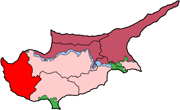
District Paphos District Municipality Population (2001)[1] – Total 0 Time zone EET (UTC+2) – Summer (DST) EEST (UTC+3) Postal code 6319 Melandra (Greek: Μελάνδρα) is an abandoned Turkish Cypriot village in the Paphos District of Cyprus, located 2 km southeast of Lysos. Prior to 1974, the village was inhabited by Turkish Cypriots.[2] The village is completely destroyed, apparently by shelling. The only two buildings that were not touched are the mosque and the orthodox chapel.[citation needed]
References
Settlements Akhelia • Ayia Marina Khrysokhous • Ayia Marina Kelokedharon • Ayia Marinoudha • Ayia Varvara • Ayios Dhimitrianos • Ayios Yeoryios • Ayios Ioannis • Ayios Isidhoros • Ayios Nikolaos • Akoursos • Amargheti • Anadhiou • Anarita • Androlykou • Arkhimandrita • Argaka • Arminou • Armou • Arodhes • Asproyia • Axylou • Chlorakas • Kholetria • Kholi • Khoulou • Khrysokhou • Dhrousha • Dhrymou • Eledhio • Emba • Episkopi • Evretou • Phalia • Phasli • Phasoula • Philousa Khrysokhous • Philousa Kelokedharon • Phinikas • Phiti • Ghalataria • Yeroskipou • Yialia • Yiolou • Goudhi • Inia • Kallepia • Kannaviou • Karamoullidhes • Kathikas • Kato Akourdhalia • Kedhares • Kelokedhara • Kidhasi • Istinjon • Kissonerga • Kili • Kilinia • Koloni • Konia • Kouklia • Kourtaka • Kritou Marottou • Kritou Terra • Kinousa • Lapithiou • Lasa • Lemona • Lempa • Letymvou • Loukrounou • Lysos • Makounta • Mamonia • Mamountali • Mandria • Marathounta • Maronas • Meladeia • Melandra • Mesa Chorio • Mesana • Mesogi • Milia • Miliou • Mousere • Nata • Nea Dimmata • Neo Chorio • Nikokleia • Panagia • Pano Akourdaleia • Paphos • Pegeia • Pelathousa • Pentalia • Peristerona • Pitargou • Polemi • Polis • Pomos • Praitori • Prastio • Prodromi • Psathi • Salamiou • Sarama • Simou • Skoulli • Souskiou • Statos • Stavrokonnou • Steni • Stroumpi • Tala • Tera • Theletra • Thrinia • Timi • Trachypedoula • Tremithousa • Trimithousa • Tsada • Vrestia • Zacharia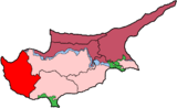 Categories:
- Cyprus geography stubs
- Populated places in Paphos District
- Turkish Cypriot villages depopulated after the 1974 Turkish invasion of Cyprus

Wikimedia Foundation. 2010.