- Matukutururu
-
Wiri Mountain Te Manurewa O Tamapahore 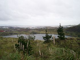
The quarried peak of Matukutūruru, now a 'lake'. Picture is taken from some of the higher remnants.Elevation 80 m (262 ft) Location Location North Island, New Zealand Coordinates 37°00′26″S 174°51′30″E / 37.007334°S 174.858441°ECoordinates: 37°00′26″S 174°51′30″E / 37.007334°S 174.858441°E Geology Volcanic arc/belt Auckland volcanic field Matukutūruru (also Te Manurewa O Tamapahore or Wiri Mountain) is one of the volcanoes in the Auckland Volcanic Field. It had a scoria cone reaching 80 metres above sea level (around 50 m higher than the surrounding land), which was quarried away. The lava flows created 290m long Wiri Lava Cave. The hill was the site of a pā.
Matukutūruru and nearby Matukutūreia are collectively known as Matukurua (also Ngā Matukurua).[1]
-

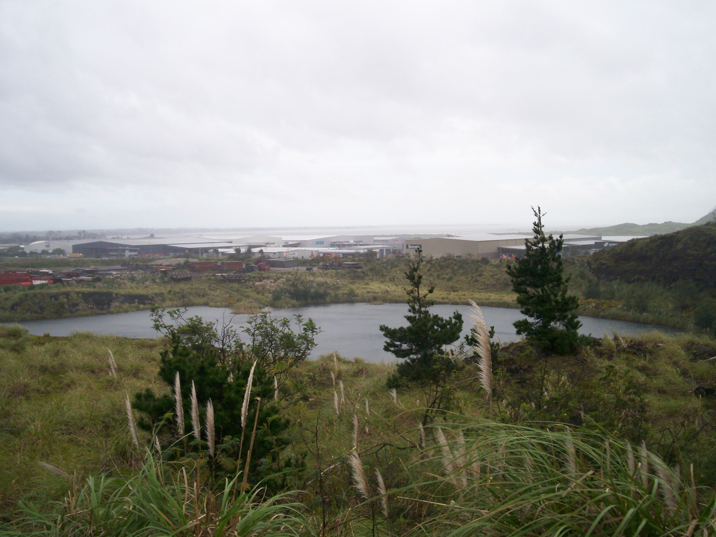
The quarried remnants of Wiri Mountain as seen from Matukutūreia.
-

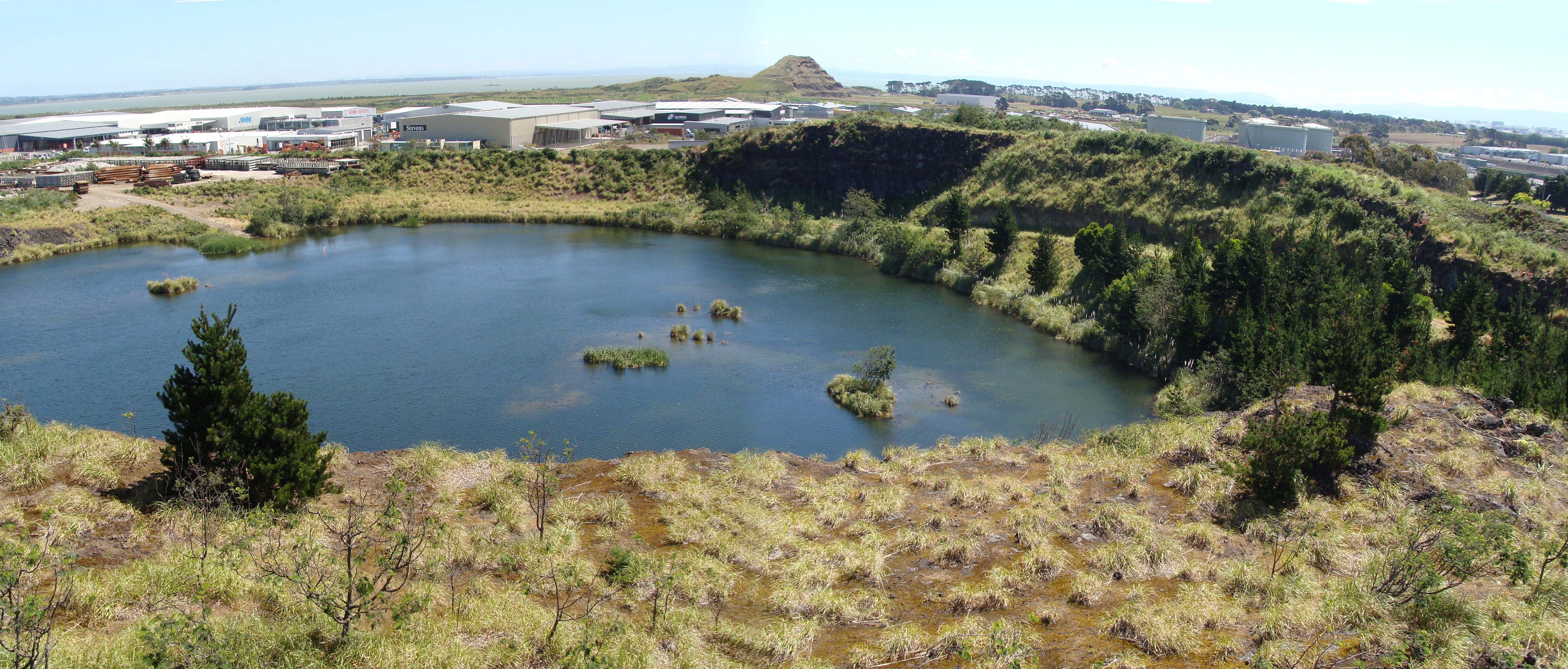
View of Wiri Mountain's quarry lake, looking toward Matukutūreia.
References
- City of Volcanoes: A geology of Auckland - Searle, Ernest J.; revised by Mayhill, R.D.; Longman Paul, 1981. First published 1964. ISBN 0-582-71784-1.
- ^ Manurewa Marae Website "A Tale of Manurewa"
External links
- 1957 view of Wiri Mountain
- View south from Mount Smart in 1923. Wiri Mountain is the distant hill on the left.
Categories:- Auckland Volcanic Field
- Auckland Region geography stubs
-
Wikimedia Foundation. 2010.