- Marymont metro station
-
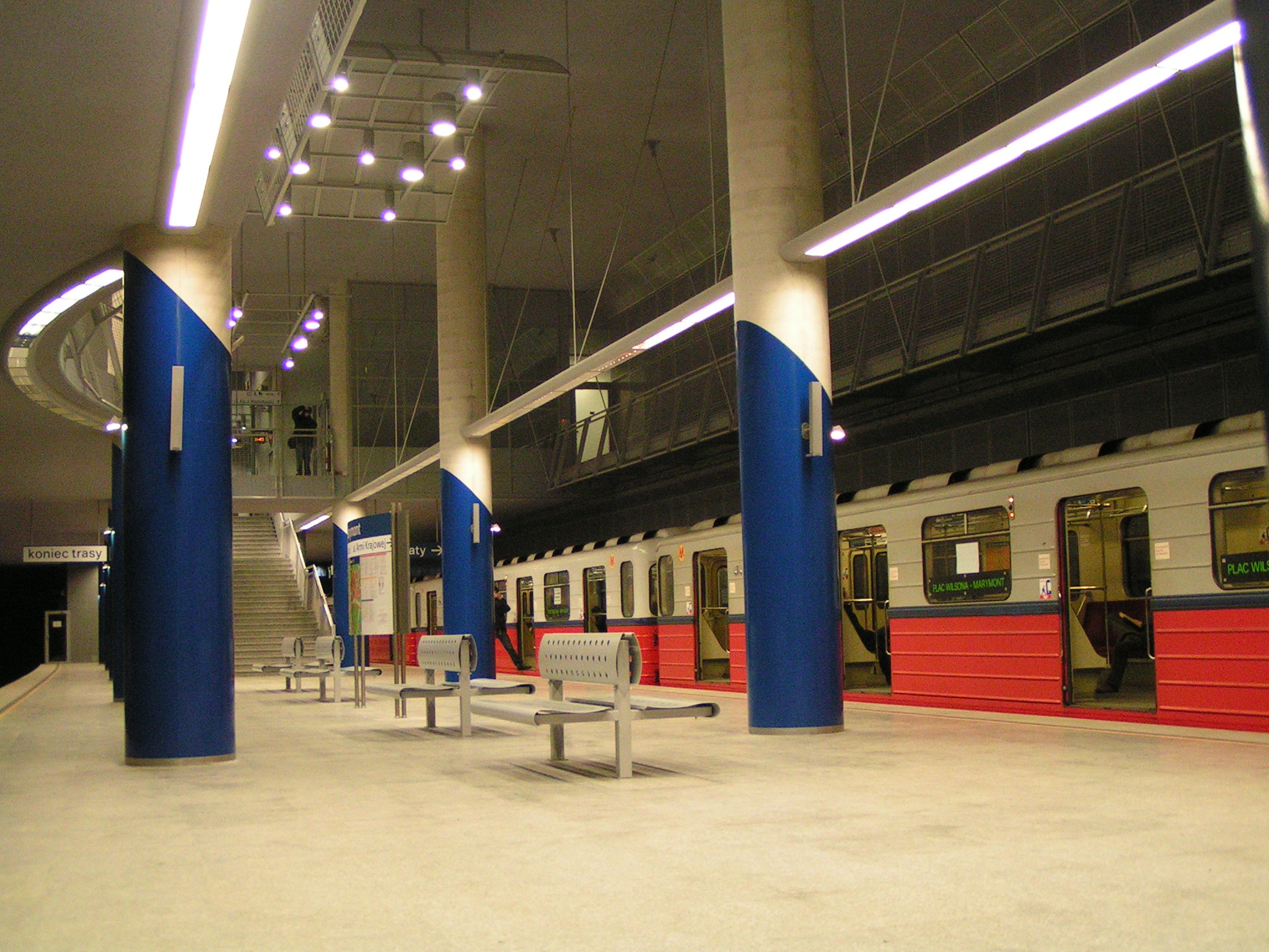
Marymont 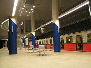
Station statistics Coordinates 52°16′18″N 20°58′18″E / 52.27167°N 20.97167°ECoordinates: 52°16′18″N 20°58′18″E / 52.27167°N 20.97167°E Other information Code A-19 Owned by ZTM Services Preceding station Warsaw Metro Following station Słodowiectoward MłocinyLine 1 Plac Wilsonatoward KabatyMetro Marymont is the 17th working station of the first line of the Warsaw Metro, opened on 29 December 2006. It is located in the Marymont neighbourhood of Warsaw. Since the station has no reversing facility of its own, from its opening until March, 2008 it was connected to the rest of the network by a single train providing shuttle service to the nearest station at Plac Wilsona. With the recent completion of the next station on the line, Słodowiec, equipped with a reversing facility, this is no longer necessary, and Marymont station is now serviced by all metro trains running on the line.
References
External links
 Media related to Marymont metro station at Wikimedia Commons
Warsaw Metro Line 1
(north to south)Młociny • Wawrzyszew • Stare Bielany • Słodowiec • Marymont • Plac Wilsona • Dworzec Gdański • Ratusz Arsenał • Świętokrzyska • Centrum • Politechnika • Pole Mokotowskie • Racławicka • Wierzbno • Wilanowska • Służew • Ursynów • Stokłosy • Imielin • Natolin • KabatyLine 2
(west to east)Rondo Daszyńskiego • Rondo ONZ • Świętokrzyska • Nowy Świat • Powiśle • Stadion • Dworzec Wileński
This Warsaw Metro-related article is a stub. You can help Wikipedia by expanding it.