- Marybank
-
Coordinates: 57°32′45″N 4°31′48″W / 57.54573°N 4.52989°W
Marybank 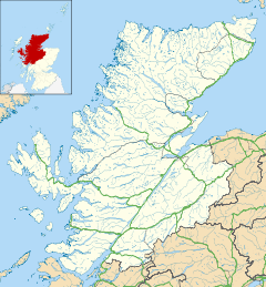
 Marybank
Marybank shown within the Highland council areaOS grid reference NH486534 Council area Highland Country Scotland Sovereign state United Kingdom Post town Muir of Ord Postcode district IV6 7 Police Northern Fire Highlands and Islands Ambulance Scottish EU Parliament Scotland List of places: UK • Scotland • Marybank is a small village in Ross-shire, Scottish Highlands and is in the Scottish council area of Highland. The village of Muir of Ord lies 3 miles south east of Marybank, along the A832 road. The village of Contin lies less than 2 miles northwest of Marybank.
Scotland has another village called Marybank, located on the Isle of Lewis.
Categories:- Populated places in Ross and Cromarty
- Highland geography stubs

Wikimedia Foundation. 2010.