- Maple Point, Illinois
-
Maple Point, Illinois — Unincorporated community — 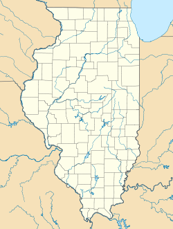
 Maple Point, Illinois
Coordinates: 39°19′56″N 88°06′47″W / 39.33222°N 88.11306°WCoordinates: 39°19′56″N 88°06′47″W / 39.33222°N 88.11306°W Country United States State Illinois County Cumberland Elevation 600 ft (183 m) Time zone Central (CST) (UTC-6) - Summer (DST) CDT (UTC-5) Area code(s) 217 GNIS feature ID 422936[1] Maple Point is an unincorporated community in Cumberland County, Illinois, United States. Maple Point is 7 miles (11 km) west-northwest of Casey.
References
Municipalities and communities of Cumberland County, Illinois County seat: Toledo Cities 
Villages Townships Cottonwood | Crooked Creek | Greenup | Neoga | Spring Point | Sumpter | Union | Woodbury
Unincorporated
communitiesFootnotes ‡This populated place also has portions in an adjacent county or counties
Categories:- Populated places in Cumberland County, Illinois
- Unincorporated communities in Illinois
- Illinois geography stubs

Wikimedia Foundation. 2010.