- Durley, Illinois
-
Durley, Illinois — Unincorporated community — 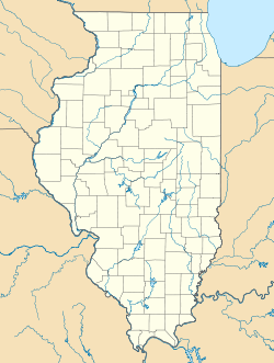
 Durley, Illinois
Coordinates: 38°56′04″N 89°22′05″W / 38.93444°N 89.36806°WCoordinates: 38°56′04″N 89°22′05″W / 38.93444°N 89.36806°W Country United States State Illinois County Bond Elevation 564 ft (172 m) Time zone Central (CST) (UTC-6) – Summer (DST) CDT (UTC-5) Area code(s) 618 GNIS feature ID 422644[1] Durley is an unincorporated community in Bond County, Illinois, United States. Durley is northeast of Greenville near Governor Bond Lake.
References
- ^ "US Board on Geographic Names". United States Geological Survey. 2007-10-25. http://geonames.usgs.gov. Retrieved 2008-01-31.
Municipalities and communities of Bond County, Illinois City 
Villages Donnellson‡ | Keyesport‡ | Mulberry Grove | Old Ripley | Panama‡ | Pierron‡ | Pocahontas | Smithboro | Sorento
Townships Burgess | Central | Lagrange | Mills | Mulberry Grove | Old Ripley | Pleasant Mound | Shoal Creek | Tamalco
Unincorporated
communitiesAyers | Beaver Creek | Bunje | Dudleyville | Durley | Gilmore | Hamburg | Hookdale | Keyesport Landing | Paisley Corners | Pleasant Mound | Reno | Stubblefield | Tamalco | Woburn
Ghost town Elm Point
Footnotes ‡This populated place also has portions in an adjacent county or counties
Categories:- Populated places in Bond County, Illinois
- Unincorporated communities in Illinois
- Illinois geography stubs

Wikimedia Foundation. 2010.