- Dunalley, Tasmania
-
Dunalley
Tasmania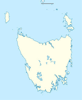
 Dunalley
Population: 313 (2006 Census)[1] Postcode: 7177 Elevation: 5 m (16 ft) Location: - 22 km (14 mi) from Port Arthur
- 40 km (25 mi) from Orford
- 26 km (16 mi) from Sorell
- 53 km (33 mi) from Hobart
LGA: Sorell Council Localities around Dunalley: Orford Sorell Dunalley Port Arthur Dunalley is a small fishing village on the east coast of Tasmania, Australia. It is part of the Sorell Council. At the 2006 census, Dunalley had a population of 313.[1]
Nearby towns include Scottsdale and SorellDunally is approximately 57 km east of Hobart on the Arthur Highway and 20 minutes from Sorell. It is located on the narrow isthmus which separates the Forestier and Tasman Peninsulas from rest of Tasmania.
The Denison canal, with a swing bridge for road traffic, has been cut between Dunalley Bay and Blackman Bay to allow boats easy access between the two bays. It was originally hand dug. The project started in 1901 and was completed in 1905. In 1965 a new hydraulic swing bridge replaced the original bridge. It is common for Sydney-Hobart yacht racers returning to Sydney to use the canal as a convenient shortcut.[2]
References
- ^ a b Australian Bureau of Statistics (25 October 2007). "Dunalley (L) (Urban Centre/Locality)". 2006 Census QuickStats. http://www.censusdata.abs.gov.au/ABSNavigation/prenav/LocationSearch?collection=Census&period=2006&areacode=UCL604600&producttype=QuickStats&breadcrumb=PL&action=401. Retrieved 13 November 2011.
- ^ Dunalley, Sorell Council
Categories:- Towns in Tasmania
- Tasmania geography stubs
- East Coast Tasmania

Wikimedia Foundation. 2010.