Downhills Park

Downhills Park

Coordinates: 51°35′22″N 0°05′28″W / 51.58944°N 0.09111°W / 51.58944; -0.09111

Downhills Park

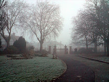
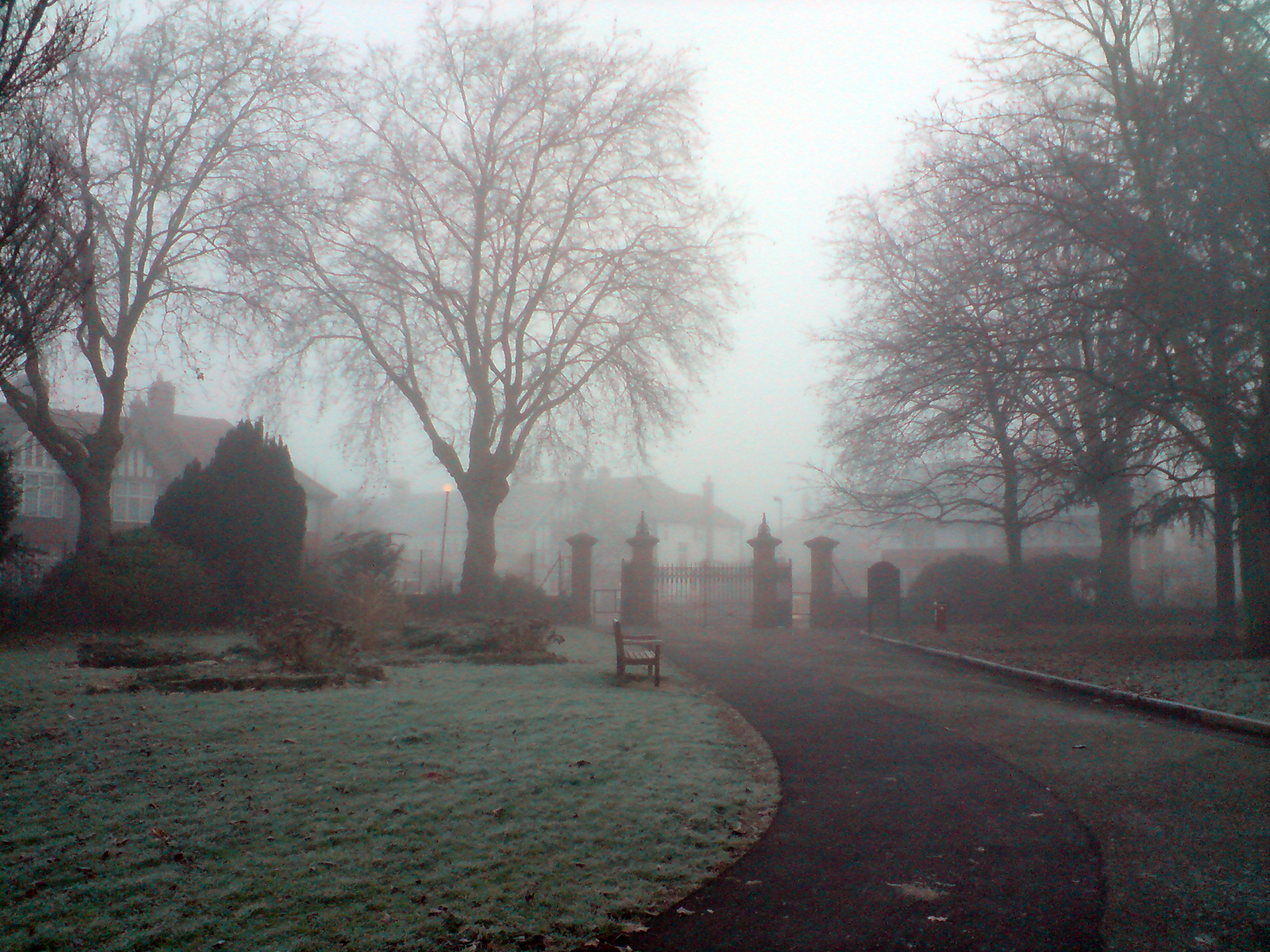
Downhills Park is a 12 hectare park in the West Green area of Haringey.

It comprises an open recreation space and a managed garden area that includes a rose garden, tennis courts and a bowling green.

In 2006 and 2007, it won Green Flag awards for maintaining excellent standards for public parks[1].

There is also a Sunday League football team named after the park (Downhills Park FC [1]) who play in the Edmonton & District Sunday Football League.

References

  1. ^ Haringey Council - Downhills Park leaflet(accessed 30 January 2008)


Wikimedia Foundation. 2010.

Игры ⚽ Нужно сделать НИР?

Look at other dictionaries:

  • Downhills park — is a 12 hectare park in the West Green area of Haringey.It includes two areas, an open recreation space, and a managed garden area which includes a rose garden, tennis courts and a bowling greenIn 2006 and 2007, it has won Green Flag awards for… …   Wikipedia

  • Noel Park — This article is about the area in North London. For the Australian politician, see Noel Park (politician). For the railway station sometimes known as Noel Park , see Noel Park and Wood Green railway station. Coordinates: 51°35′47″N 0°06′08″W /  …   Wikipedia

  • Northumberland Park, London — For other uses, see Northumberland Park. Northumberland Park is a suburb near Tottenham, in Haringey, London, England. It is served by Northumberland Park railway station. v …   Wikipedia

  • Devil's Den State Park — Arkansas state park Natural Monument (IUCN III) …   Wikipedia

  • Oak Mountain State Park — Two of the lakes at Oak Mountain State Park. Type State Park Location 200 Terrace Drive …   Wikipedia

  • West Green, London — infobox UK place country = England map type = Greater London region= London population= official name= West Green constituency westminster= Tottenham post town= LONDON postcode area= N postcode district= N15 london borough= Haringey dial code=… …   Wikipedia

  • Crouch End — Coordinates: 51°34′47″N 0°07′25″W / 51.579712°N 0.123729°W / 51.579712; 0.123729 …   Wikipedia

  • Manor House, London — This article is about the district in North London. For the building in Soho, see Manor House, 21 Soho Square. Coordinates: 51°34′19″N 0°05′48″W / 51.57182°N 0.09671°W …   Wikipedia

  • Muswell Hill — Coordinates: 51°35′31″N 0°08′35″W / 51.592°N 0.143°W / 51.592; 0.143 …   Wikipedia

  • Moselle Upper School — Moselle School Type Community special school Headteacher Sarah Doyle Chair Pat May Specialism General Learning Difficulty and Autistic Spectrum Disorder Location Downhills Park Road …   Wikipedia

Share the article and excerpts

Direct link
Do a right-click on the link above
and select “Copy Link”