- Dobra Bridge (A6)
-
Not to be confused with Dobra Bridge (A1).
Dobra Bridge 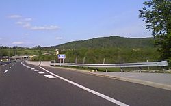
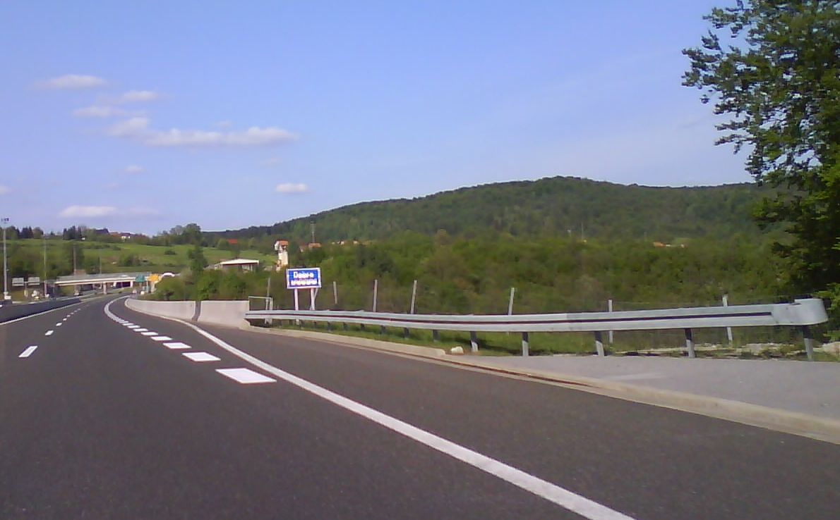
Official name Most Dobra Carries A6 motorway Crosses Dobra River Locale Gorski Kotar, Croatia Maintained by Autocesta Rijeka–Zagreb Design Box girder bridge Total length 246.95 m Longest span 51 m Vertical clearance 61 m Opened 2003 Toll charged as a part of A6 motorway toll Coordinates 45°21′45″N 15°04′52″E / 45.362459°N 15.081224°ECoordinates: 45°21′45″N 15°04′52″E / 45.362459°N 15.081224°E Dobra Bridge is located between the Vrbovsko and Ravna Gora interchanges of the A6 motorway in Gorski Kotar, Croatia, spanning Dobra River. It is 246.95 metres (810.2 ft) long and carries the motorway across five spans. The bridge consists of two parallel structures, both completed in 2003 by Primorje.[1][2] The bridge is tolled within the A6 motorway ticket system and there are no separate toll plazas associated with use of the bridge. The bridge is located in a water protection area.[3]
Traffic volume
Traffic is regularly counted and reported by Autocesta Rijeka–Zagreb, operator of the viaduct and the A6 motorway where the structure is located, and published by Hrvatske ceste. Substantial variations between annual (AADT) and summer (ASDT) traffic volumes are attributed to the fact that the bridge carries substantial tourist traffic to the Adriatic resorts. The traffic count is performed using analysis of motorway toll ticket sales.[4]
Dobra Bridge traffic volume Road Counting site AADT ASDT Notes  A6
A63006 Vrbovsko west 11,979 20,091 Between Vrbovsko and Ravna Gora interchanges. See also
References
- ^ "Spojen desni most Dobra [Right hand side of Dobra Bridge structure joined]" (in Croatian). Novi list. April 1, 2003. http://novine.novilist.hr/default.asp?WCI=Rubrike&WCU=28592863285C2863285A28582858285B286328962897289E28632863285D285A285D2861285D2863286328632863A. Retrieved October 12, 2010.
- ^ "Viadukti in mostovi [Viaducts and bridges]" (in Slovenian). Primorje d.d.. http://www.primorje.si/index.php?vie=cnt&str=49_slo. Retrieved October 12, 2010.
- ^ (PDF) Croatian Motorways. Hrvatske autoceste. 2007. pp. 352–353. ISBN 9789537491. http://www.hac.hr/files/file/brosure/monografija/virtualMagazine.html. Retrieved September 11, 2010.
- ^ "Traffic counting on the roadways of Croatia in 2009 - digest". Hrvatske Ceste. May 1, 2010. http://www.hrvatske-ceste.hr/WEB%20-%20Legislativa/brojenje-prometa/CroDig2009.pdf.
Categories:- Box girder bridges
- Bridges in Croatia
- Bridges completed in 2003
- Toll bridges
- Primorje-Gorski Kotar County
Wikimedia Foundation. 2010.