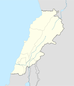
- Deyrintar
-
Deyrintar
دير انطار— City — Main Square Location within Lebanon Coordinates: 33°13′N 35°22′E / 33.217°N 35.367°ECoordinates: 33°13′N 35°22′E / 33.217°N 35.367°E Country  Lebanon
Governorate Nabatieh Governorate District Bint Jbeil District Highest elevation 670 m (2,198 ft) Lowest elevation 540 m (1,772 ft) Time zone EET (UTC+2) - Summer (DST) EEST (UTC+3) Dialing code +961 Deyrintar (Deir Intar, Arabic: دير انطار) is a small village in Southern Lebanon. It is about 110 kilometres (68 mi) south of Beirut and 25 kilometres (16 mi) east of Tyre, in the heart of what is known as "Jabal Amel". Its main features include a cave, a main square, and 3 mosques.
Categories:- Populated places in the Nabatieh Governorate
- Bint Jbeil District
- Populated places in Lebanon
Wikimedia Foundation. 2010.


