- Dashalty
-
Coordinates: 39°44′30″N 46°44′57″E / 39.74167°N 46.74917°E
Daşaltı
Քարին տակ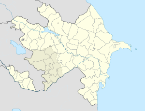
 Daşaltı
Քարին տակCoordinates: 39°44′30″N 46°44′57″E / 39.74167°N 46.74917°E Country De-jure  Azerbaijan
De-facto Nagorno-Karabakh
Rayon
ProvinceShusha
ShushiPopulation (2005) – Total 588 Time zone AZT (UTC+4) – Summer (DST) AZT (UTC+5) Dashalty (Azerbaijani: Daşaltı, also K’arintak Armenian: Քարին տակ) is a village in Nagorno-Karabakh, which is de-jure part of Azerbaijan but under secessionist Armenian rule. The population consists of ethnic Armenians, and both the Azerbaijani and Armenian names of the village mean below-the-rock, referring to the sheer vertical cliffs towering above the village, on top of which Shusha is built.
Shusha located just above this village, was the last Azerbaijani stronghold in the mountainous part of Karabakh to be captured by Armenians in the Karabakh war.[1]. On January 26, 1992 Azerbaijani Defense Minister "Mehdiyev led a disastrous sortie out of Shusha to capture the Armenian village of Karintak"[2], dozens of Azerbaijani soldiers died[3].
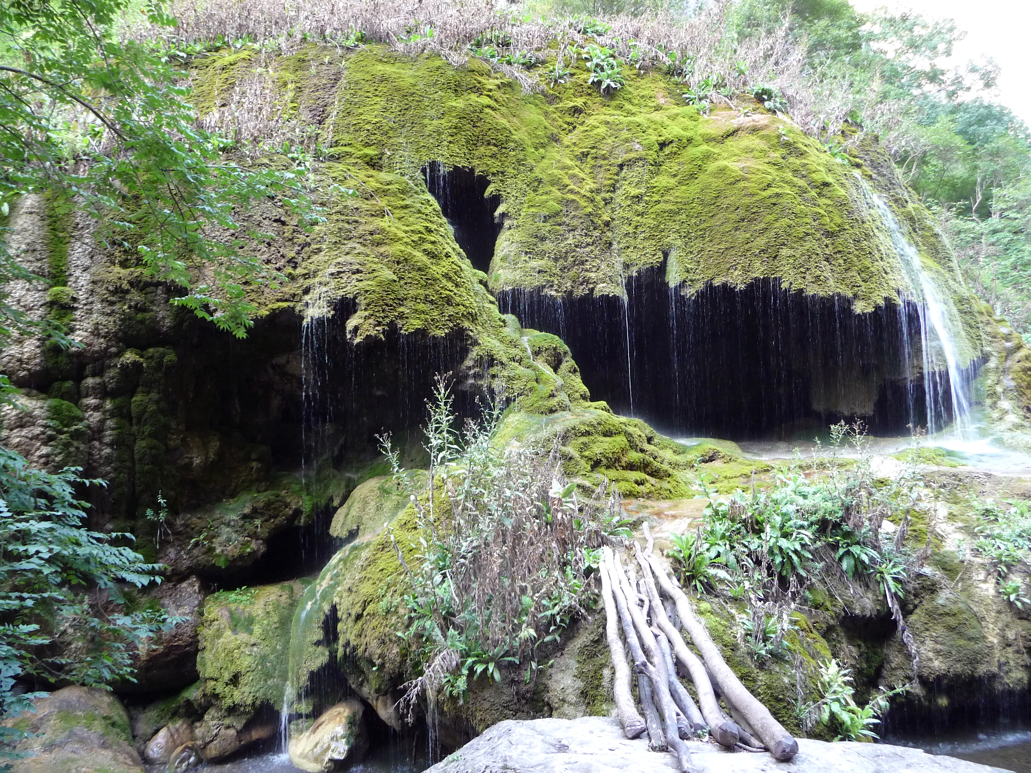
The old town square is relatively well preserved, showing some traditional pre-Soviet architecture of the region. There is a also plain village church that was restored by Land and Culture Organization volunteers in 1999-2000. About 3km downriver there is a mossy waterfall named "Zontik", because of its resemblance to an umbrella in the rain.
Images of Dashalty
-
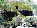
Zontik Waterfall in KarKar Canyon
-
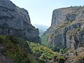
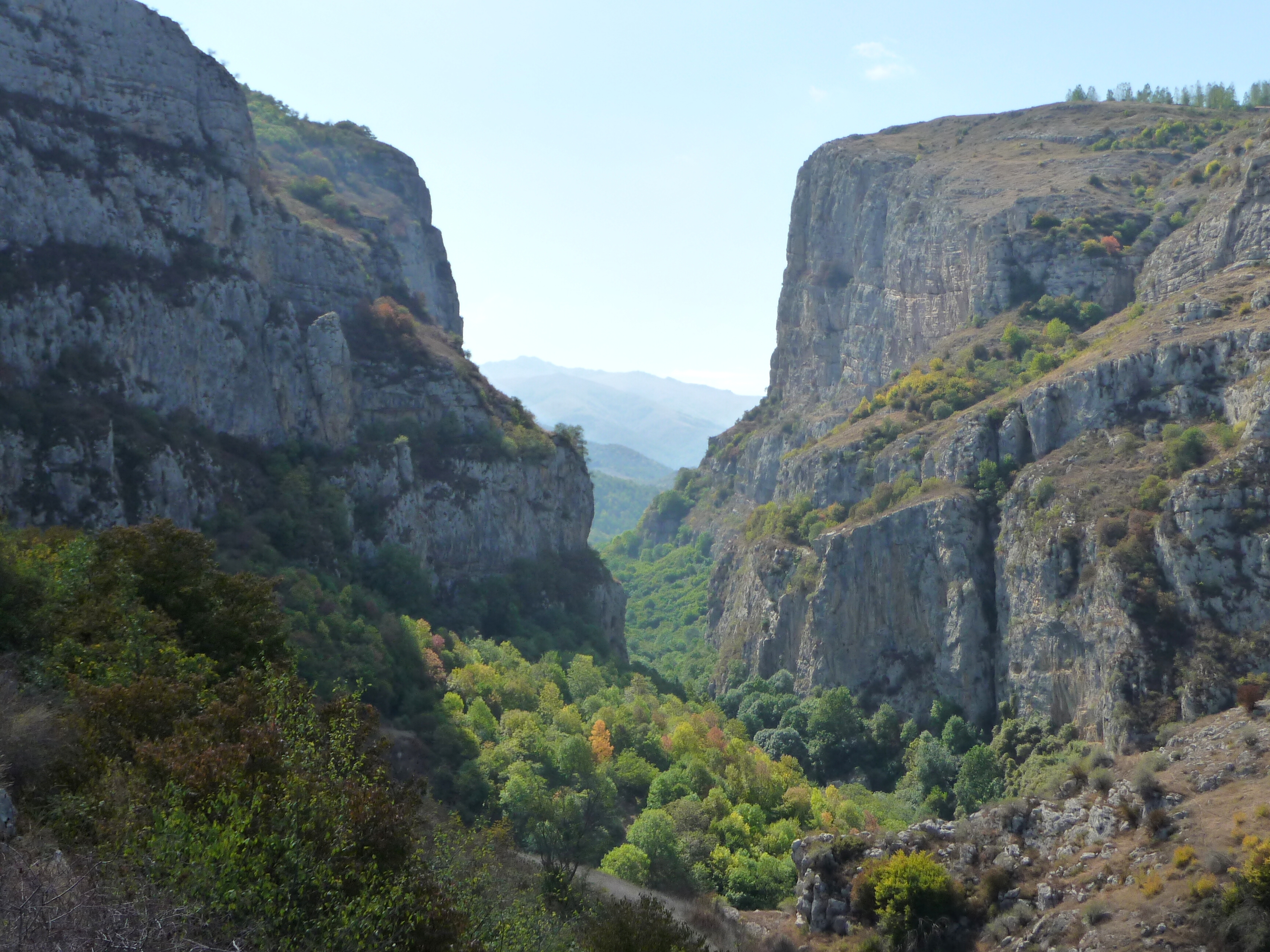
KarKar Canyon
-
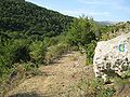
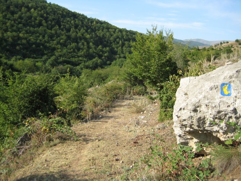
Section of Janapar trail passing by Dashalty.]]
References
- ^ Carey Goldberg (1992-05-10). "Armenians Capture Key Karabakh Town : Republics: Both sides agree the fall of the last Azerbaijani stronghold marks a turning point in the four-year struggle over the disputed enclave". Los Angeles Times. http://articles.latimes.com/1992-05-10/news/mn-2514_1_turning-point. Retrieved 2011-09-27.
- ^ Black Garden, Thomas de Waal, page 176
- ^ Black Garden, Thomas de Waal, page 292
Allahqulular · Aşağı Quşçular · Berdadzor · Böyük Galadərəsi · Çaykənd · Daşaltı · Dashtaog · Dükanlar · Əmillər · Göytala · İmamqulular · Kirov · Kizilov · Laçınlar · Malıbəyli · Məmişlər · Mirzələr · Nəbilər · Onverst · Paşalar · Qaradağlı · Qaybalı · Salatın · Səfixanlar · Şırlan · Şuşulu · Tsaxkadzor · Turşsu · Xanalı · Xanalılar · Xanlıqpəyə · Xəlfəli · Xərxan · Yextsahoğ · Yuxarı Quşçular · Zamanpəyəsi · Zarıslı
 Categories:
- Populated places in Shushi province
- Populated places in Shusha Rayon
- Azerbaijan geography stubs
-

Wikimedia Foundation. 2010.