- Damavand, Iran
-
For the mountain, see Mount Damavand. For the administrative subdivision, see Damavand County.
Damavand
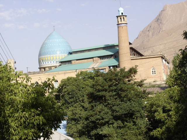
دماوند— city — The 15th century Jame mosque of Damavand.
 Damavand
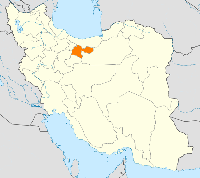
Coordinates: 35°43′04″N 52°03′54″E / 35.71778°N 52.065°ECoordinates: 35°43′04″N 52°03′54″E / 35.71778°N 52.065°E Country  Iran
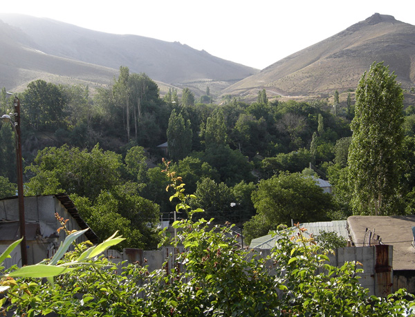
IranProvince Tehran County Damavand Bakhsh Central Population (2006) - Total 36,433 Time zone IRST (UTC+3:30) - Summer (DST) IRDT (UTC+4:30) Website Official website 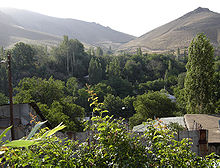 View of Damavand and the Alborz Mountains.
Damavand (Persian: دماوند, also Romanized as Damāvand and Demāvend; also known as Qaşabeh-e Damāvand)[1] is a city in and the capital of Damavand County, Tehran Province, Iran. At the 2006 census, its population was 36,433, in 10,279 families.[2]
Damavand is an ancient and historic city. The name Damavand appears in Sassanid texts (as Dunbawand), and Parthian remains have been found there. The city fell to Arab Muslim invaders in 651 CE. It is close to Iran's tallest peak Mount Damavand, which Ferdowsi mentions abundantly in the Shahnameh. The city has relatively cool weather year round.
Contents
Main sights
Damavand contains 37 historical tombs (Imamzadeh), 27 castle ruins, 23 traditional houses of architectural significance, 18 traditional bath houses, 6 caves, 5 historical bridges, 3 historical mosques, and 3 caravanserais.
The main landmarks are the Friday Mosque (15th century) and the Sheikh Shebli Mausoleum and Tower, dating to the Seljuq era.
Transportation
Damavand can be reached by road from Firuzkuh via Gilavand and from Haraz road, via Mosha.
See also
References
- ^ Damavand, Iran can be found at GEOnet Names Server, at this link, by opening the Advanced Search box, entering "-3059147" in the "Unique Feature Id" form, and clicking on "Search Database".
- ^ "Census of the Islamic Republic of Iran, 1385 (2006)" (Excel). Islamic Republic of Iran. http://www.amar.org.ir/DesktopModules/FTPManager/upload/upload2360/newjkh/newjkh/23.xls.
External links
 Tehran Province
Capital 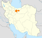
Counties and Cities Baharestan CountyMalard · SafadashtPakdasht · SharifabadPishva CountyQods CountyQodsRey* · Baqershahr · Hasanabad · KahrizakRobat Karim CountyLandmarks Azadi Tower · Bahman Cultural Center · Carpet Museum of Iran · Dizin · Ebn-e Babooyeh · Golestan Palace · Grand Bazaar, Tehran · Iranian Crown Jewels · Malik National Museum of Iran · Milad Tower · Naderi Throne · National Museum of Iran · Niavaran Palace Complex · Peacock Throne · Pearl Palace · Sa'dabad Palace · Saltman · Samarian spinel · Shahr-e Bazi · Shebeli Tower · Shemshak · Bibi Shahr Banu Shrine · Tangeh Savashi · Tehran Museum of Contemporary Art · Tughrul Tower · Toopkhaneh · Reza Abbasi Museum- indicates that this formerly independent city is now absorbed into Tehran.
Categories:- Damavand County
- Cities in Iran
- Cities in Tehran Province
- Tehran Province geography stubs

Wikimedia Foundation. 2010.