- D520 road (Croatia)
-
D520 state road
Route information Length: 7.6 km (4.7 mi) Major junctions From:  A3 in Babina Greda interchange
To:  D7 in Slavonski Šamac
Location Counties: Vukovar-Syrmia, Brod-Posavina Major cities: Babina Greda, Slavonski Šamac Highway system State roads in Croatia
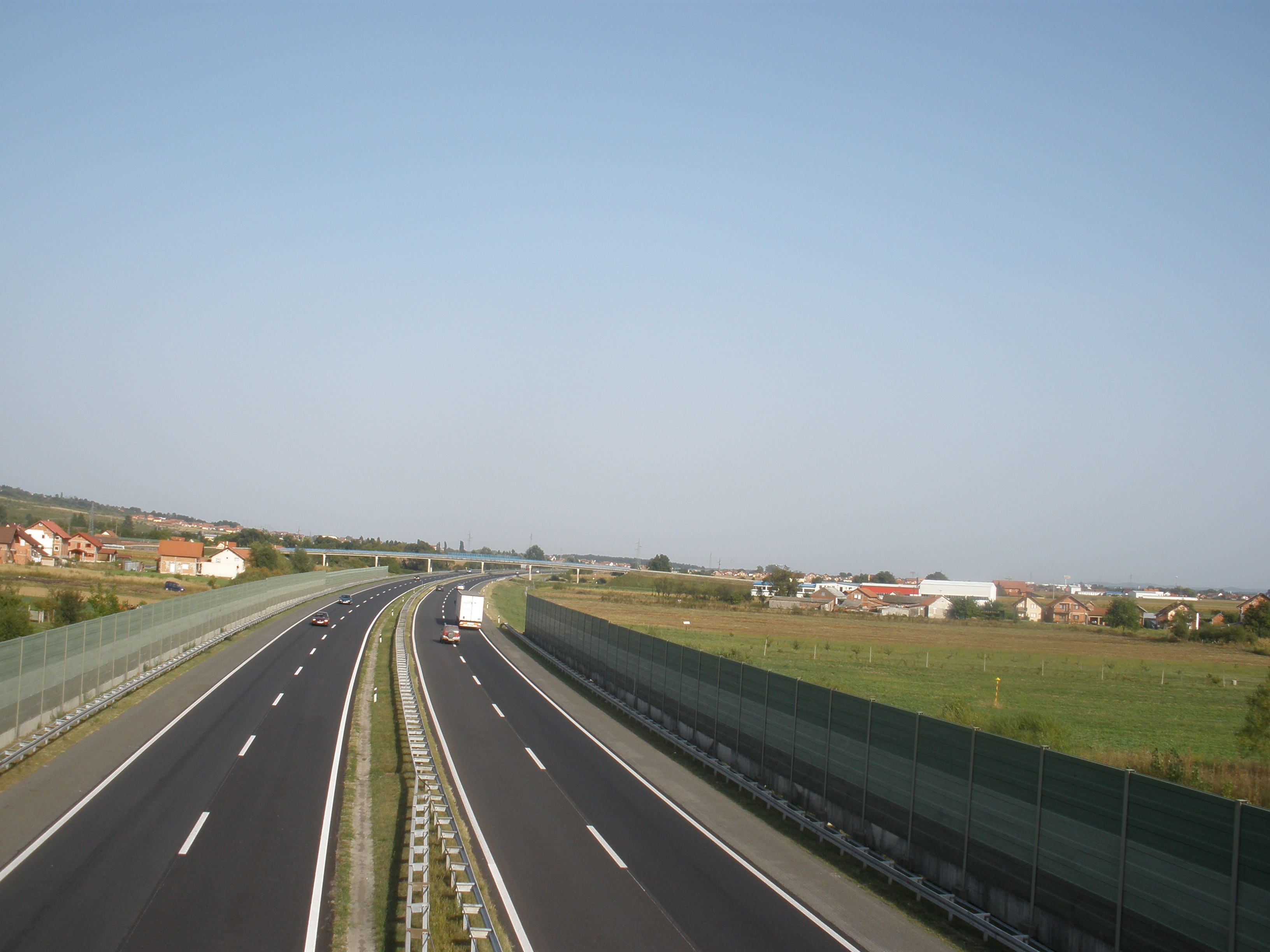
 A3 motorway, connected to the D7 road via D520
D520 is a state road in Slavonia region of Croatia, connecting the A3 motorway Babina Greda interchange[1] to Slavonski Šamac, Babina Greda and D7. The road is 7.6 km (4.7 mi) long.[2]
The road, as well as all other state roads in Croatia, is managed and maintained by Hrvatske Ceste, state owned company.[3]
Contents
Traffic volume
The D520 state road traffic volume is not reported by Hrvatske Ceste, however they regularly count and report traffic volume on the A3 motorway Babina Greda interchange, which connects to the D520 road only, thus permitting the D520 road traffic volume to be accurately calculated.[4] The report includes no information on ASDT volumes.
D520 traffic volume Road Counting site AADT ASDT Notes A3Babina Greda interchange 161 n/a Eastbound A3 traffic leaving the motorway at the interchange. A3Babina Greda interchange 205 n/a Eastbound A3 traffic entering the motorway at the interchange. A3Babina Greda interchange 209 n/a Westbound A3 traffic leaving the motorway at the interchange. A3Babina Greda interchange 156 n/a Westbound A3 traffic entering the motorway at the interchange.  D520
D520Babina Greda interchange 731 n/a Total traffic entering/leaving the A1 motorway from/to D520. Road junctions and populated areas
D520 junctions/populated areas Type Slip roads/Notes  A3 in Babina Greda interchange, to Zagreb and Slavonski Brod (to the west) and to Županja and Belgrade, Serbia (to the east).
The northern terminus of the road.
Babina Greda Slavonski Šamac
D7 to Vrpolje (to the north) and Slavonski Šamac border crossing (to the south).
The southern terminus of the road.See also
- A3 motorway
- State roads in Croatia
- Hrvatske ceste
Sources
- ^ "Regulation on motorway markings, chainage, interchange/exit/rest area numbers and names" (in Croatian). Narodne novine. May 6, 2003. http://narodne-novine.nn.hr/clanci/sluzbeni/305463.html.
- ^ "Decision on categorization of public roads as state roads, county roads and local roads" (in Croatian). Narodne novine. February 17, 2010. http://narodne-novine.nn.hr/clanci/sluzbeni/2010_02_17_410.html.
- ^ "Public Roads Act" (in Croatian). Narodne novine. December 14, 2004. http://narodne-novine.nn.hr/clanci/sluzbeni/2004_12_180_3130.html.
- ^ "Traffic counting on the roadways of Croatia in 2009 - digest" (in English). Hrvatske Ceste. May 1, 2010. http://www.hrvatske-ceste.hr/WEB%20-%20Legislativa/brojenje-prometa/CroDig2009.pdf.
Categories:- State roads in Croatia
- Vukovar-Syrmia County
- Brod-Posavina County

Wikimedia Foundation. 2010.