- Penrhos, Herefordshire
-
Coordinates: 52°12′09″N 3°00′13″W / 52.202453°N 3.003736°W
Penrhos
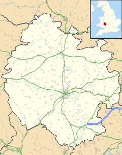
 Penrhos shown within Herefordshire
OS grid reference SO315565 Unitary authority Herefordshire Ceremonial county Herefordshire Region West Midlands Country England Sovereign state United Kingdom Post town KINGTON Postcode district HR5 3LH Dialling code 01544 Police West Mercia Fire Hereford and Worcester Ambulance West Midlands EU Parliament West Midlands UK Parliament North Herefordshire List of places: UK • England • Herefordshire Penrhos is an area or hamlet at the top of the hill east of Kington, Herefordshire near the Welsh border. The name is derived from the Welsh words pen and rhos and means "head (top) of the moor"[1]. In the area there are a small number of buildings including Penrhos Farm[2] and Penrhos Court[3].
History
Penrhos originated around the late 13th century with a large cruck dwelling. Generations of owners have added more buildings and at one stage it became a small hamlet of half a dozen dwellings. Farm barns were added which formed a squared of ancient farm building surrounding a courtyard with a puddle duck pond and a well in the middle. Records of 1752 refer to the area as Penrose, in 1841 as Penrhose, in 1850 again as Penrose being a farm of 213 acres (0.86 km2), then 1880 as the first reference to the Welsh name of Penrhos which it is still now known by.
References
Categories:- Herefordshire geography stubs
- Villages in Herefordshire
Wikimedia Foundation. 2010.

