- Culburnie, Highland
-
Coordinates: 57°26′15″N 4°30′09″W / 57.4376°N 4.50259°W
Culburnie 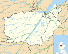
 Culburnie
Culburnie shown within the Inverness areaOS grid reference NH498413 Council area Highland Country Scotland Sovereign state United Kingdom Post town Kiltarlity Postcode district IV4 7 Police Northern Fire Highlands and Islands Ambulance Scottish EU Parliament Scotland List of places: UK • Scotland • Culburnie is a scattered hamlet in Kiltarlity, located about 2 km west of the main part of Kiltarlity village, and about 20 km west of Inverness, in the Highland council area of Scotland.
The name may come from the Gaelic for "at the back of the damp place".[1]
Culburnie used to have a primary school, but it has been closed for a number of years. Pupils now travel to the primary school at Tomnacross, or to seconadry school at Charleston Academy in Inverness.
The Culburnie Burn (also known as the Teanacoil Burn) passes through the area, before flowing into the Bruiach Burn, which flows into the River Beauly.
References
Categories:- Populated places in Inverness committee area
- Highland geography stubs

Wikimedia Foundation. 2010.