Crooked Creek (Allegheny River)
- Crooked Creek (Allegheny River)
-
For other uses, see Crooked Creek (disambiguation).
Crooked Creek is a tributary of the Allegheny River in both Armstrong and Indiana counties in the U.S. state of Pennsylvania.[1]
Course
Crooked Creek joins the Allegheny River in both Bethel and Manor townships.
Tributaries
(Mouth at the Allegheny River)
- Campbell Run
- Elbow Run
- Horney Camp Run
- North Branch
- Fagley Run
- Sugar Run
- Lindsay Run
- Craig Run
- Plum Creek
- Dutch Run
- Cessna Run
- South Branch
- Mudlick Run
- Sugarcamp Run
- Leisure Run
- Goose Run
- North Branch
- Walker Run
- Anthony Run
- Curry Run
- Mitchell Run
- Dark Hollow Run
- Fulton Run
- McKee Run
- Twomile Run
- Pine Run
- Brush Run
- Rayne Run
See also
References
External links
Categories:
- Rivers of Pennsylvania
- Tributaries of the Allegheny River
- Geography of Armstrong County, Pennsylvania
- Geography of Indiana County, Pennsylvania
- Western Pennsylvania geography stubs
- Pittsburgh, Pennsylvania geography stubs
Wikimedia Foundation.
2010.
Look at other dictionaries:
Crooked Creek — may refer to: Streams Crooked Creek (Allegheny River), a tributary of the Allegheny River Crooked Creek (Georgia), a tributary of the Chattahoochee River near Fulton and Gwinnett Crooked Creek (Indiana), a tributary of the Kankakee River Crooked… … Wikipedia
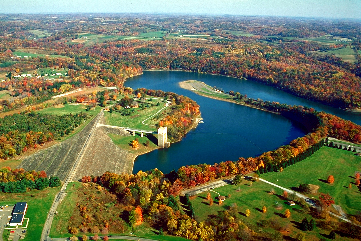
Crooked Creek Lake Recreation Area — Crooked Creek Lake Location Armstrong County, Pennsylvania Coordinates 40°41′56″N 79°29′56″W … Wikipedia
Crooked Run (Monongahela River) — Crooked Run Creek is a tributary of the Monongahela River southeast of Pittsburgh, Pennsylvania. It runs for 3.2 miles (5.1 km),[1] from its origin in North Versailles Township (near the intersection of Crooked Run and Foster roads) until… … Wikipedia
Allegheny River — For other uses of Allegheny, see Allegheny (disambiguation). Allegheny River The Allegheny River, looking upstream at Freeport, Pennsylvania Origin Allegany Township, Potter County, near Cou … Wikipedia
Larrys Creek — Geobox | River name = Larrys Creek category = Creek image size = 300 image caption = Larrys Creek and the Cogan House Covered Bridge in Cogan House Township, Pennsylvania etymology = Larry Burt, first settler country = United States country state … Wikipedia
Octoraro Creek — is a 22.1 mile long (35.6 km)[1] tributary of the Susquehanna River, joining it 9 miles (14 km) above the Susquehanna s mouth at Chesapeake Bay. The Octoraro rises as an East and West Branch in Pennsylvania. The East Branch and Octoraro … Wikipedia
Yellow Breeches Creek — Fishing in the Boiling Springs Lake tributary to the Yellow Breeches Creek in Boiling Springs Yellow Breeches Creek,[1] also known as Minnimingo Creek,[citat … Wikipedia
Susquehanna River — Coordinates: 39°32′35″N 76°04′32″W / 39.54306°N 76.07556°W / 39.54306; 76.07556 … Wikipedia
Tioga River (Chemung River) — The Tioga River (TIE o guh) is a tributary of the Chemung River, approximately 55 mi (90 km) long, in northern Pennsylvania and western New York in the United States. It drains a region of ridges in the northern Allegheny Plateau in the watershed … Wikipedia
Chagrin River — (Shagarin or clear water ) River Chagrin River from South Chagrin Reservatio … Wikipedia
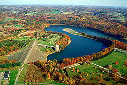 The Crooked Creek Lake Recreation Area is a dam, reservoir, and park near Ford City in Armstrong County, Pennsylvania.