- Cresswell railway station
-
This article is about the former railway station in Staffordshire. For the railway station in Derbyshire, see Creswell railway station.
Cresswell 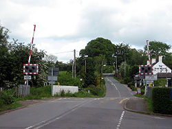
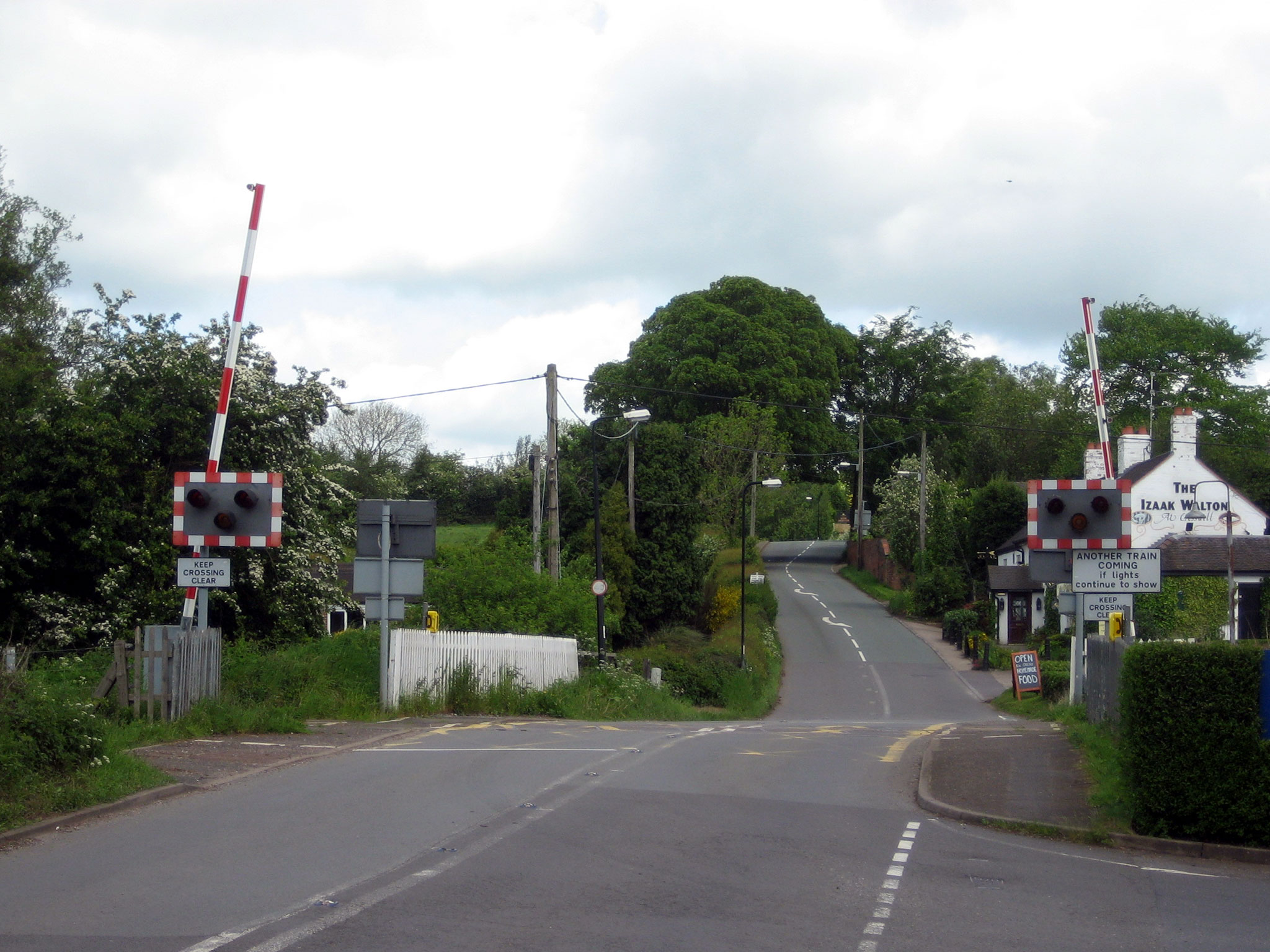
Level crossing at the site of the former station Location Place Cresswell, Staffordshire Area Staffordshire Moorlands Grid reference SJ975394 Operations Pre-grouping North Staffordshire Railway Post-grouping London, Midland and Scottish Railway
London Midland Region of British RailwaysPlatforms 2 History 7 August 1848 Opened 7 November 1966 Closed Disused railway stations in the United Kingdom Closed railway stations in Britain
A B C D–F G H–J K–L M–O P–R S T–V W–ZCresswell railway station was a railway station located on the Stoke-Derby line at Cresswell, Staffordshire, England. It was opened by the North Staffordshire Railway in 1848 and closed in 1966.[1]
The station was located near the Izaak Walton pub and had a substantial building and a small goods yard. It became the junction station for the Cheadle Branch Line in 1892.[1] When the latter closed to passengers, the sidings remained in occasional use for another 20 years, mainly sand traffic from Cheadle.[2]
The level crossing was converted to automatic barrier operation in 1989, whereupon the signal box was demolished and the junction was lifted.[3]
There is no trace of the station today.[2]
Preceding station Historical railways Following station Line and station openNorth Staffordshire Railway LeighLine open, station closedNorth Staffordshire Railway Terminus Preceding station Disused railways Following station Terminus North Staffordshire Railway TeanLine and station closedReferences
- ^ a b Baker, Allan C. (1979). The Cheadle Railway. The Oakwood Press. ISBN 085361248X.
- ^ a b Ballantyne, Hugh (2005). British Railways Past & Present: North Staffordshire and the Trent Valley. Past & Present Publishing Ltd. ISBN 1858952042.
- ^ "Railways in Draycott". Archived from the original on 2006-05-11. http://web.archive.org/web/20060511074045/http://www.geocities.com/Athens/Agora/3542/railways.html. Retrieved 2009-01-21.
Coordinates: 52°57′03″N 2°02′13″W / 52.95089°N 2.03705°W
Categories:- Disused railway stations in Staffordshire
- Railway stations closed in 1966
- Railway stations opened in 1848
- Former North Staffordshire Railway stations
- Staffordshire building and structure stubs
- West Midlands (region) railway station stubs
Wikimedia Foundation. 2010.