- Cranleigh Waters
-
Cranleigh Waters Bramley Wey River 
Country England County Surrey Districts Guildford Borough, Waverley Tributaries - left Cobbler's Brook Source - location Walliswood, Surrey, England - elevation 45 m (148 ft) - coordinates 51°8′14″N 0°24′51″W / 51.13722°N 0.41417°W Mouth River Wey - location Shalford Discharge for Bramley [1] - average 1.10 m3/s (39 cu ft/s) - min 0.16 m3/s (6 cu ft/s) (19 June 1998) The Cranleigh Waters or Bramley Wey is a tributary of the River Wey in Surrey. It rises near Walliswood, flowing initially southwestwards to Vachery Pond, before turning to run northwards via Bramley to meet the Wey at Shalford.[2]
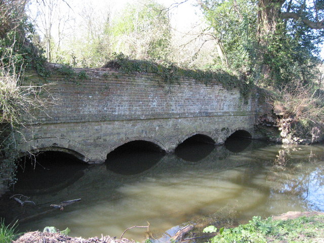
From the Vachery Pond to the Wey, Cranleigh Waters is closely followed by the disused Wey and Arun Canal, which crossed the river at Gosden Aqueduct.
In spite of its name, the river does not run through the village of Cranleigh.
References
- ^ Marsh, T; Hannaford, J, eds (2008). UK Hydrometric Register. Hydrological data UK series. Wallingford, Oxfordshire: Centre for Ecology & Hydrology. ISBN 9780955767227. http://www.ceh.ac.uk/products/publications/documents/HydrometricRegister_Final_WithCovers.pdf.
- ^ Gallois RW; Worssam BC; Thurrell RG (1993). Geology of the County around Horsham. London: HMSO. pp. 95-101. ISBN 9780118844802.
Categories:- Surrey geography stubs
- Rivers of Surrey
Wikimedia Foundation. 2010.