Lough Dan — Infobox lake lake name = Lough Dan Loch Deán image lake = Lough Dan reflections (27765469).jpg caption lake = image bathymetry = caption bathymetry = location = County Wicklow coords = coord|53.075436|N|6.285918|W|region:IE type:waterbody|display … Wikipedia
List of English loughs — The following is a list of loughs that can be found in England. The term is not commonly used, but when it is, is often pronounced luff . In many cases, loughs have been renamed, and the bodies of water are generally quite small, e.g. pond sized … Wikipedia
Haltwhistle — infobox UK place country = England official name= Haltwhistle latitude= 54.9701 longitude= 2.4585 population = 3,595 shire district= Tynedale region= North East England shire county = Northumberland constituency westminster= Hexham post town=… … Wikipedia
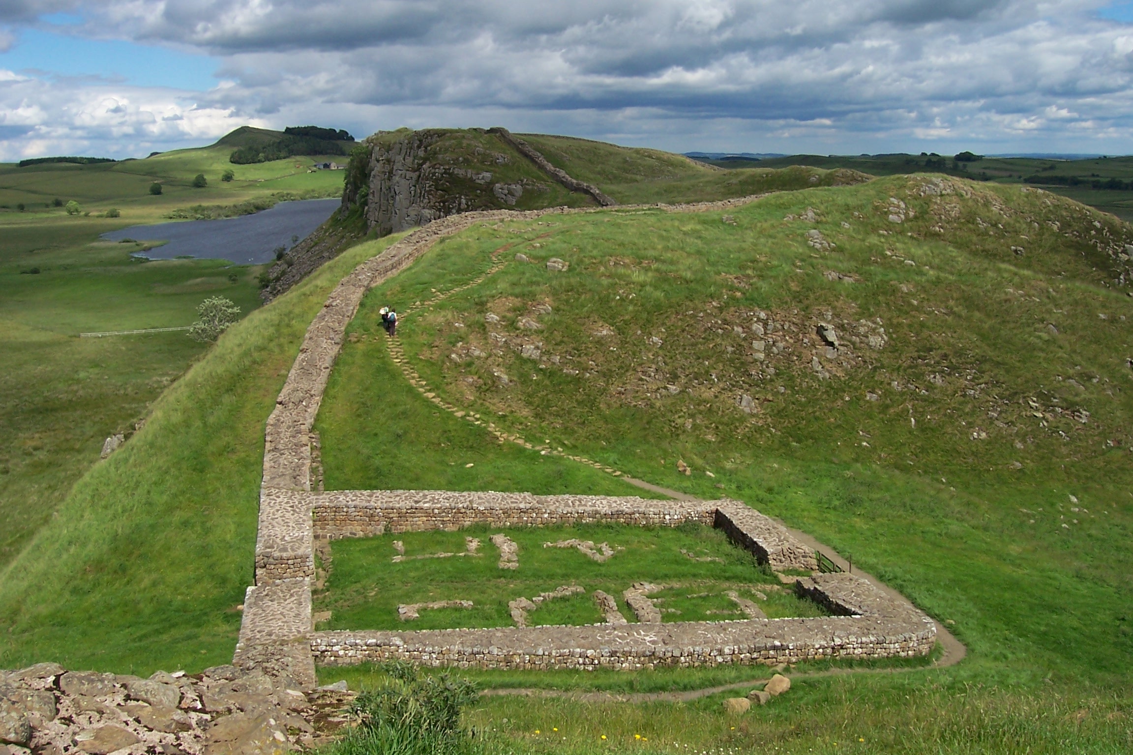
Hadrian's Wall Path — Infobox Hiking trail Name=Hadrian s Wall Path Photo=Hadrians wall craigs.jpg|thumb|200px|] Caption=Crag Lough, near Steel Rigg on the Path Location=England: Tyne and Wear, Northumberland, Cumbria Designation=National Trail Length=Convert|84|mi|0… … Wikipedia
Hadrian's Wall — This article is about the fortification in Northern England. For the Broad Wall of Jerusalem, see Broad Wall (Jerusalem). Coordinates: 55°01′27″N 2°17′33″W / 55.02417°N 2 … Wikipedia
Luggala — Infobox Mountain Name = Luggala Log an Lágh Photo = Lough Tay.jpg Caption = Luggala behind Lough Tay. Elevation = 595 m (1952 ft) Location = County Wicklow, IRL Range = Wicklow Mountains Prominence = Coordinates =… … Wikipedia
Fair Head — is a rocky headland at the north eastern corner of Northern Ireland, in County Antrim. It lies 3 miles (5km) east of Ballycastle town, and is the closest part of the mainland to Rathlin Island. It is a very highly regarded rock climbing location … Wikipedia
Newry — For other uses, see Newry (disambiguation). Coordinates: 54°10′34″N 6°20′56″W / 54.176°N 6.349°W / 54.176; 6.349 … Wikipedia
Frank Winder — (Francis Gerard Augustine Winder; born 14 April 1928; died in Dublin, 30 December 2007) was an Irish professor of biochemistry, a naturalist, and one of Ireland s leading rock climbers in the 1950s and 60s.cientific careerWinder received his… … Wikipedia
SS Ragnhild (1941) — SS Penelope Career Name: Empire Carey (1941 42) Ragnhild (1942 46) Penelope (1946 72) Ingeborg (1972 76) … Wikipedia

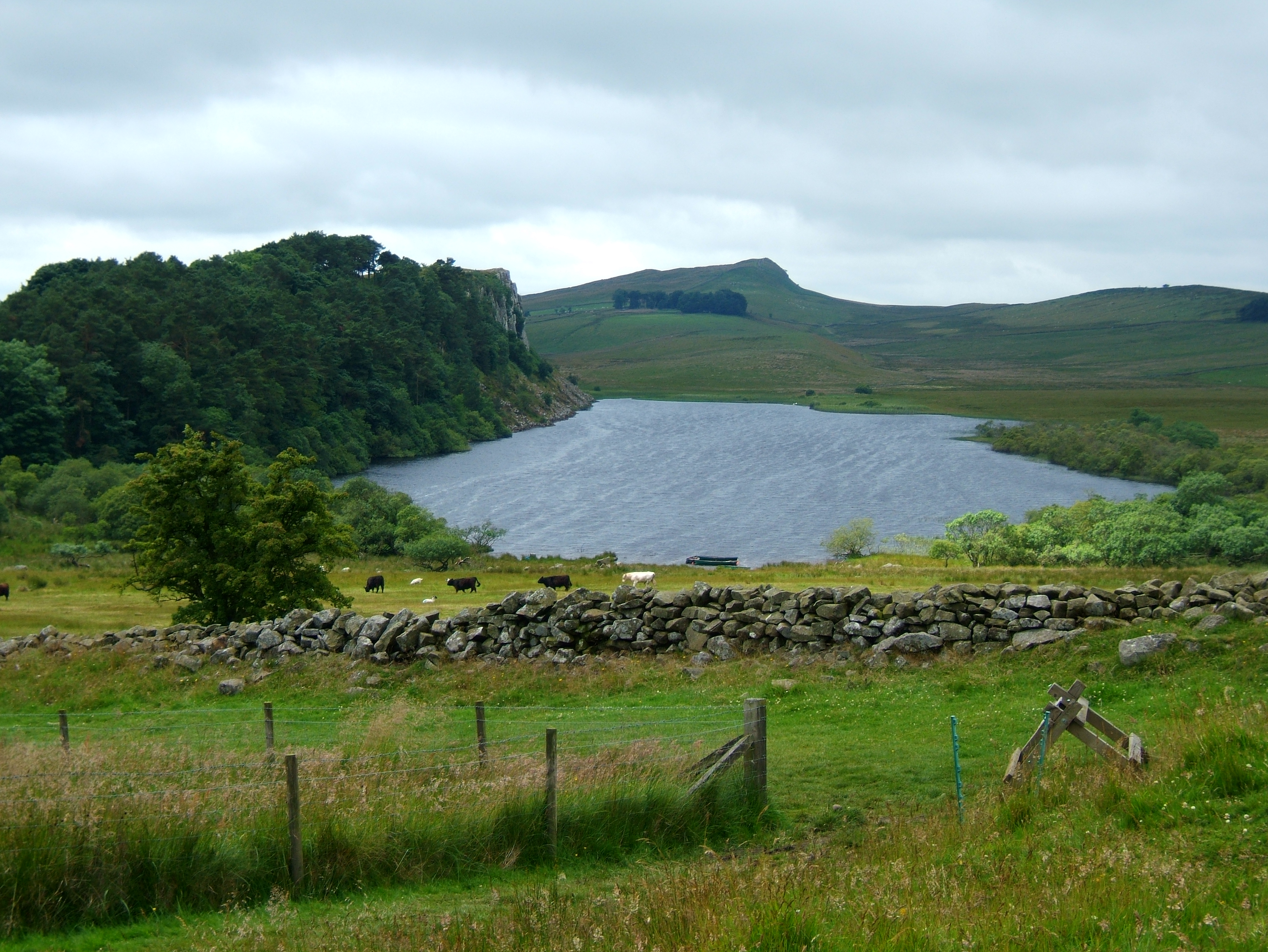
 Crag Lough
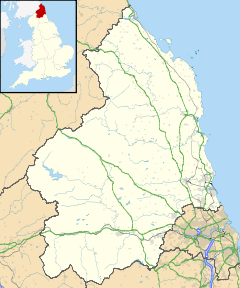
 Crag Lough shown within Northumberland
 Media related to Crag Lough at Wikimedia CommonsCategories: