- Corregidor Caldera
-
Corregidor Caldera 
Corregidor and Caballo Islands are the rim of the calderaElevation 173 m (568 ft) Prominence 173 m (568 ft) Listing Potentially-active volcanoes of the Philippines Location Map of the Philippines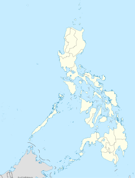
 Corregidor Caldera
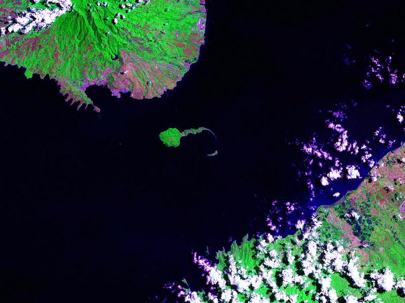
Location Entrance to Manila Bay Coordinates 14°22′39″N 120°36′33″E / 14.3775°N 120.60917°ECoordinates: 14°22′39″N 120°36′33″E / 14.3775°N 120.60917°E Geology Type Caldera Volcanic arc/belt Western Bataan Lineament Last eruption Unknown Corregidor is an extinct volcanic caldera located at the entrance to Manila Bay in the Republic of the Philippines. The caldera is composed of the islands of Corregidor and Caballo in the province of Cavite[1], which are believed to be the exposed rim of the volcano.
Contents
Physical Features
Corregidor is classified by Philippine volcanologists as a potentially-active caldera with a rim elevation of 173 metres (568 ft) and a base diameter of 4 kilometres (2.5 mi).[2]
Predominant rock type is dacite with a 72.68% silica dioxide content.[2]
Eruption
Last eruption was about 1 million years (1.10 +/-0.09 Ma) BP based on the age of deposits.[2]
Listings
The Philippine Institute of Volcanology and Seismology (PHIVOLCS) lists the volcano as potentially active.[2] The reason for this listing rather than inactive, is not disclosed on the PHIVOLCS website listing.
Corregidor is not listed with the Smithsonian Institution's Global Volcanism Program as it has no known eruptions in the Holocene epoch (around 10,000 years ago).[3]
See also
References
- ^ "Political Districts of Cavite". Provincial Government of Cavite Official Website. Retrieved on 2011-10-18.
- ^ a b c d "Corregidor". Philippine Institute of Volcanology and Seismology (PHIVOLCS). http://volcano.phivolcs.dost.gov.ph/update_VMEPD/Volcano/VolcanoList/corregidor.htm.
- ^ "Volcanoes of the Philippines and Southeast Asia". Global Volcanism Program. Smithsonian Institution. http://www.volcano.si.edu/world/region.cfm?rnum=07.
Categories:- Volcanoes of Luzon
- Potentially active volcanoes of the Philippines

Wikimedia Foundation. 2010.