- Coomalie Shire
-
Coomalie Shire
Northern Territory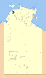
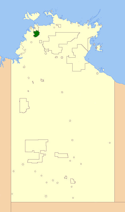
Location of the Commalie Government CouncilPopulation: 1,295(2009)[1] Established: 1990 Area: 1500 km² (579.2 sq mi) Mayor: Wendy Leach Region: outer Darwin State District: Daly Federal Division: Lingiari LGAs around Coomalie Shire: Litchfield Coomalie Shire The Coomalie Shire is a Local Government Area in the Northern Territory, situated south of Darwin and Palmerston. The council governs an area of 1,500km² and has a estimated population of 1,295.
Contents
History
Coomalie Community Government Council was established on 7 December 1990, and its first elections were held in 1997. On 1 July 2008, Coomalie Council became one of the 11 Shires in the territory, changed by the Northern Territory Government.
Wards
The council is divided up into six wards, which is governed by 9 councillors across the six wards:
- Batchelor Township Ward (3) (Batchelor)
- Adelaide River Township Ward (2) (Adelaide River)
- Batchelor Rural Ward (1)
- Adelaide River Rural Ward (1)
- Lake Bennett Ward (1) (Lake Bennett)
- Coomalie/Tortilla Ward (1)
Townships
The Shire includes the localities of
- Batchelor
- Adelaide River
- Coomalie Creek
- Rum Jungle
The boundary of this area extends from the Manton Dam in the north, to the town of Adelaide River in the south and east from the Adelaide River, to the Litchfield National Park in the west.
Meetings
Meetings are scheduled for the 3rd Tuesday of every month.
See also
References
- ^ Australian Bureau of Statistics (30 March 2010). "Regional Population Growth, Australia, 2008–09". http://www.abs.gov.au/ausstats/abs@.nsf/Latestproducts/3218.0Main%20Features102008-09?opendocument&tabname=Summary&prodno=3218.0&issue=2008-09&num=&view=. Retrieved 4 June 2010.
External links
Local Government Areas of the Northern Territory Darwin Region Belyuen · Coomalie · Darwin · Darwin Rates Act Area · Litchfield · Palmerston · Tiwi Islands · Unincorporated Top End Region · WagaitKatherine Region Katherine · Victoria Daly · Roper GulfArnhem Land Barkly Tableland Central Australia Categories:- Populated places established in 1990
- 1990 establishments in Australia
- Australia government stubs
- Local Government Areas of the Northern Territory
Wikimedia Foundation. 2010.