Colyers (ward)

Colyers (ward)
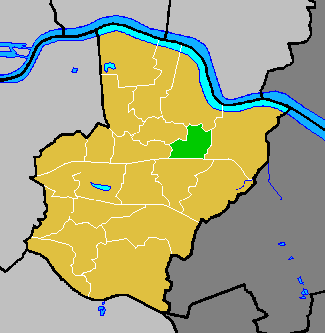
Colyers
—  electoral ward  —
Country United Kingdom
Region London
County Greater London
London borough Bexley
Colyers ward (green) within the London Borough of Bexley (yellow)

Colyers is an electoral ward in the London Borough of Bexley. It consists of parts of Barnehurst, Erith and Northumberland Heath. Ward Councillors are Brian Bishop, Maxine Fothergill and Chris Taylor (all Conservative).

The ward covers Colyers Lane, a local main road that is 1.5 km (0.93 mi) long east to west, and the surrounding area. Northend Road, part of the A206 road passes the east side of Colyers travelling, north to south it forms some of the ward's eastern boundary. The A220 road passes north to south on the western side of Colyers and forms some of the western boundary; it is named Bexley Road to the north and Erith Road to the south. The ward's southern boundary follows some of railway line east of Barnehurst railway station the on the Bexleyheath Line.

External links

Cllr Chris Taylor's web page http://christaylor.yourcllr.com/


Wikimedia Foundation. 2010.

Игры ⚽ Поможем сделать НИР

Look at other dictionaries:

  • Colyers — infobox UK place country = England map type = Greater London region= London population= official name= Colyers london borough= Bexley constituency westminster= Bexleyheath and Crayford constituency westminster1= Erith and Thamesmead post town=… …   Wikipedia

  • Erith — infobox UK place country = England map type = Greater London region= London population= official name= Erith latitude= 51.4763 longitude= 0.1681 london borough= Bexley constituency westminster= Erith Thamesmead constituency westminster1=… …   Wikipedia

  • Barnehurst — infobox UK place country = England map type = Greater London region= London population= official name= Barnehurst latitude= 51.4613 longitude= 0.1690 london borough= Bexley constituency westminster= Bexleyheath and Crayford post town= BEXLEYHEATH …   Wikipedia

  • Northumberland Heath — Coordinates: 51°28′22″N 0°10′04″E / 51.4727°N 0.1679°E / 51.4727; 0.1679 …   Wikipedia

  • Slade Green — infobox UK place country = England map type = Greater London region= London population= official name= Slade Green latitude= 51.4668 longitude= 0.1964 london borough= Bexley constituency westminster= Bexleyheath and Crayford post town= ERITH… …   Wikipedia

  • North End, Bexley — Coordinates: 51°28′01″N 0°11′39″E / 51.46693°N 0.19408°E / 51.46693; 0.19408 …   Wikipedia

Share the article and excerpts

Direct link
Do a right-click on the link above
and select “Copy Link”