- Coedpenmaen
-
Coordinates: 51°36′47″N 3°19′26″W / 51.61311°N 3.32396°W
Coedpenmaen 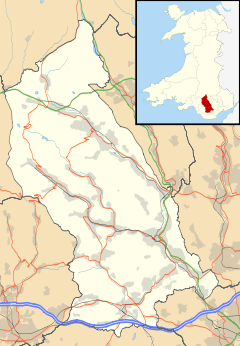
 Coedpenmaen
Coedpenmaen shown within Rhondda Cynon TafOS grid reference ST079907 Principal area Rhondda Cynon Taf Ceremonial county Mid Glamorgan Country Wales Sovereign state United Kingdom Post town PONTYPRIDD Postcode district CF37 Dialling code 01443 Police South Wales Fire South Wales Ambulance Welsh EU Parliament Wales UK Parliament Pontypridd Welsh Assembly Pontypridd List of places: UK • Wales • Rhondda Cynon Taf Coedpenmaen (Coed-Pen-Maen) is a subdistrict of the Pontypridd town district and ward of Trallwng (Trallwn), Rhondda Cynon Taf, South Wales. It also comprises Pontypridd Common or as it is sometimes referred to 'Coedpenmaaen Common'. The boundaries between the residential areas of Coedpenmaen and Trallwn themselves are blurred. Just beyond the Common on the way to the adjoining village of Glyntaff is the aptly named small village of Pentrebach[1] (literally Welsh for 'small village').
References
External links
- http://www.francisfrith.com/coedpenmaen/
- http://www.geograph.org.uk/gridref/ST0890?inner
- http://www.coedpenmaenbaptist.co.uk/
- http://www.genuki.org.uk/big/wal/GLA/Eglwysilan/Coedpenmaen/
- http://archive.rhondda-cynon-taf.gov.uk/treorchy/index.php?a=wordsearch&s=gallery&w=coedpenmaen
- http://archive.rhondda-cynon-taf.gov.uk/treorchy/index.php?a=wordsearch&s=gallery&w=pentrebach
- http://archive.rhondda-cynon-taf.gov.uk/treorchy/index.php?a=wordsearch&s=gallery&w=pontypridd+common
Categories:- Villages in Rhondda Cynon Taf

Wikimedia Foundation. 2010.