Cobblestone Mountain (California)
- Cobblestone Mountain (California)
-
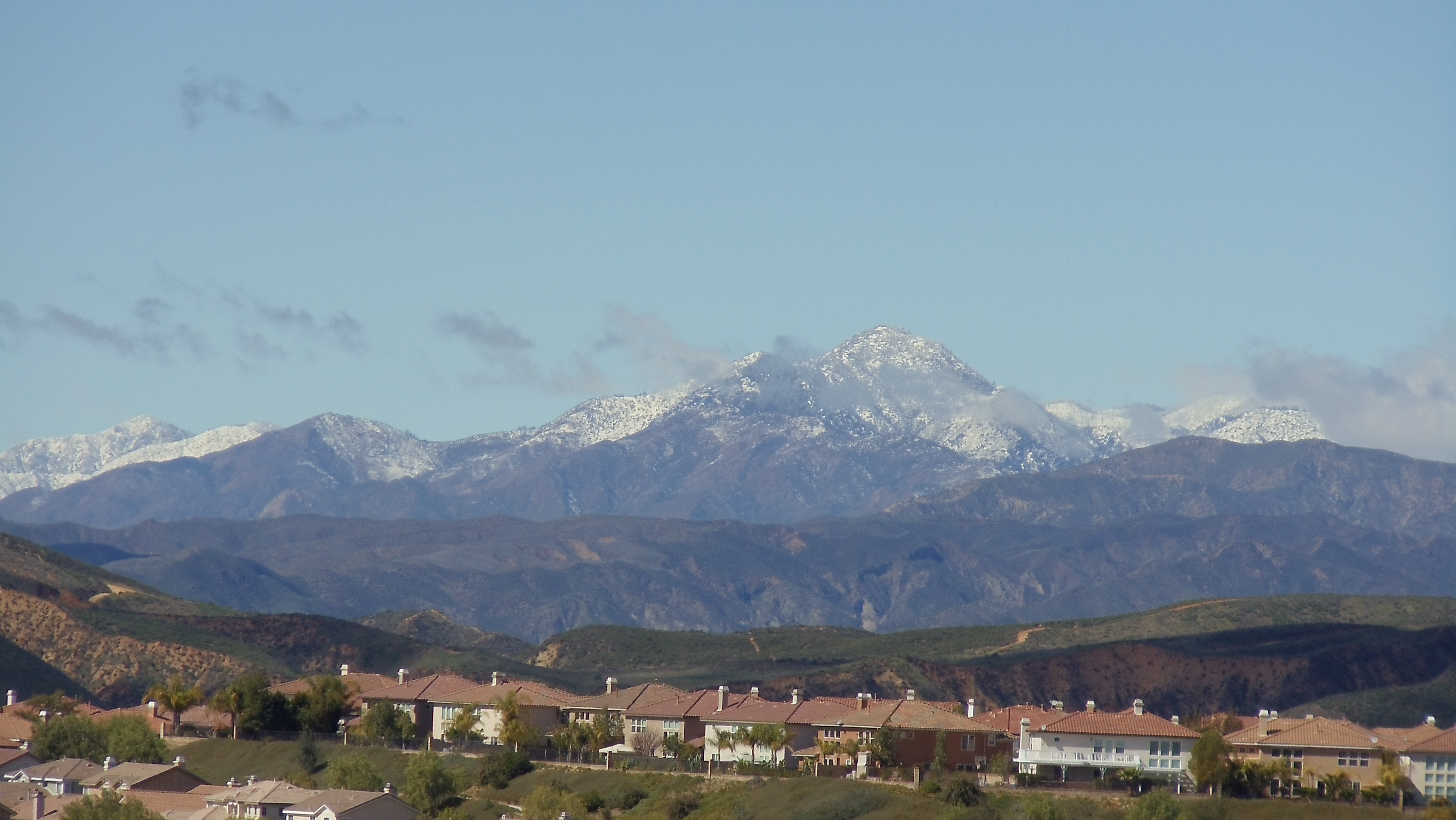
Cobblestone Mountain is a peak in the Los Padres National Forest of Southern California. At 6,699 feet (2,042 m), it is the second highest peak in the Topatopa Mountains of the Transverse Ranges, after the 6,716-foot (2,047 m) Hines Peak. The peak is located in the northeastern part of Ventura County several miles north of Piru. Snow frequently falls on the mountain.
See also
References
Categories:
- Mountains of Ventura County, California
- Southern California geography stubs
Wikimedia Foundation.
2010.
Look at other dictionaries:
Mountain Creek — For other uses, see Mountain Creek (disambiguation). Mountain Creek Resort … Wikipedia
Sonoma Mountain — Infobox Mountain Name = Sonoma Mountain Photo = Sonomamtnfrmannadel.jpg Caption = Northeast flanks of Sonoma Mountain viewed from Annadel State Park. Elevation = convert|2287|ft|m|0|lk=on|abbr=on Location = Sonoma County, California, USA Range =… … Wikipedia
Bakersfield, California — Infobox Settlement official name = Pagename other name = native name = nickname = California s Country Music Capital settlement type = City motto = imagesize = image caption = Downtown Bakersfield with City Hall and Police Headquarters at left… … Wikipedia
Penngrove, California — Infobox Settlement official name = Penngrove, California other name = Penn s Grove settlement type = City mapsize = 180x198px map caption = Location in the State of California subdivision type = Country subdivision name = United States… … Wikipedia
Amador County, California — County of Amador County Foothills of Amador County … Wikipedia
Annadel State Park — Infobox protected area | name = Annadel State Park iucn category = II caption = Lupines in a meadow, Annadel State Park locator x = locator y = location = Sonoma County, California, USA nearest city = Kenwood, California; Santa Rosa, California… … Wikipedia
Disasters — ▪ 2009 Introduction Aviation January 23, Poland. A Spanish built CASA transport plane carrying members of the Polish air force home from a conference on flight safety in Warsaw crashes near the town of Miroslawiec; all 20 aboard are killed … Universalium
Yulupa Creek — Geobox|River name = Yulupa Creek native name = other name = category = perennial stream etymology = nickname = image caption = Headwaters area of Yulupa Creek in the northern Sonoma Mountains with distant view of Mayacamas Mountains. country =… … Wikipedia
List of Centro Shopping Centres in United States of America — Centro Properties Group is a multinational company that owns and/or manages shopping centres in Australia, New Zealand and the United States of America. This is a list of Shopping Centres which are owned and/or managed by Centro Properties Group… … Wikipedia
National Register of Historic Places featured properties and districts — This is a list of National Register of Historic Places featured properties and districts. The National Park Service features one new listing on the National Register of Historic Places (NRHP) each week. The featured new listings are announced by… … Wikipedia