Coast to Vines Rail Trail

Coast to Vines Rail Trail
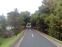
Section of the Coast to Vines rail trail in Old Reynella, facing South

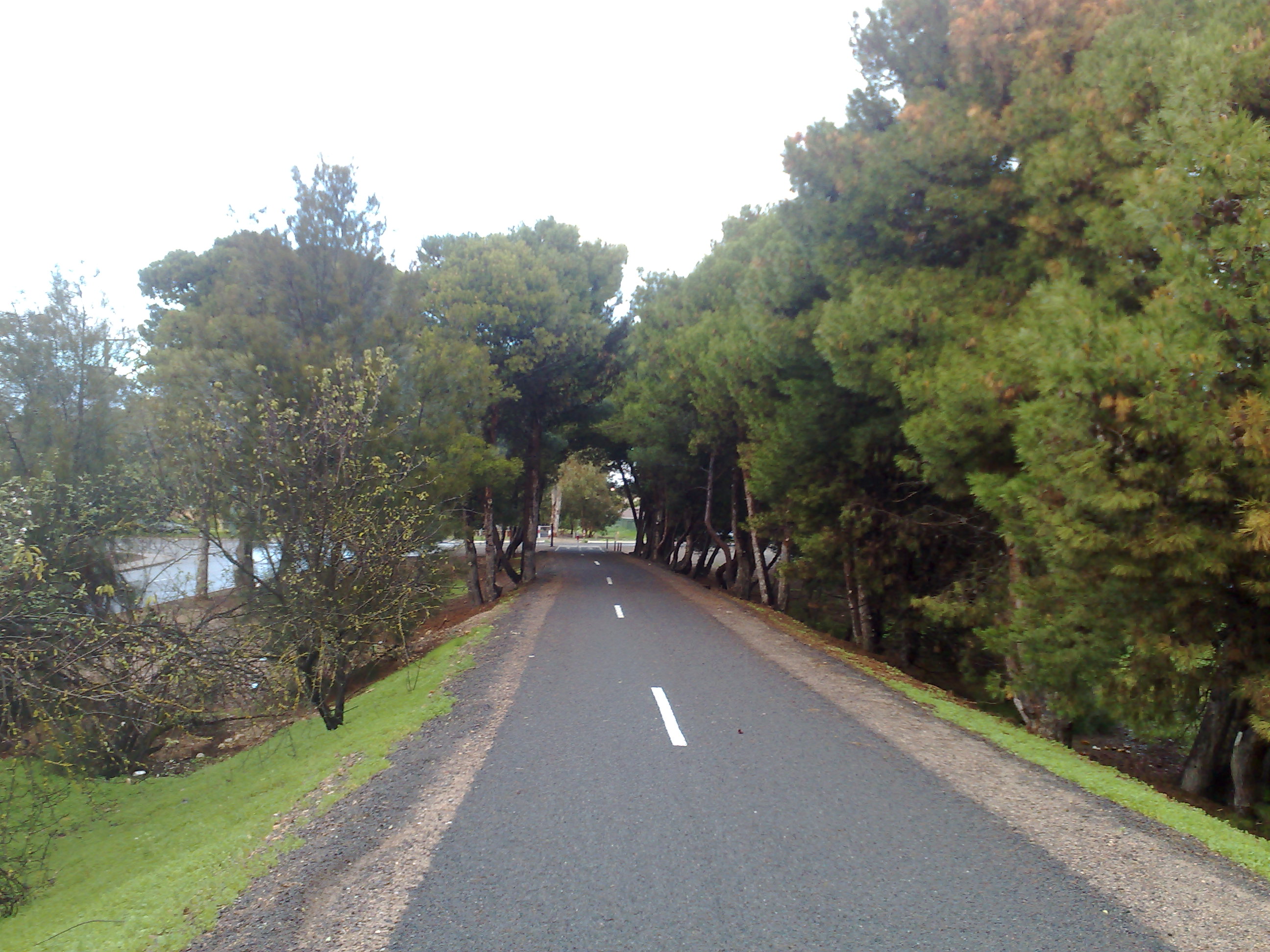
The Coast to Vines rail trail open to pedestrians and cyclists, runs for 34 km through the southern suburbs of Adelaide from Marino to Willunga. Much of the trail has been constructed on the disused Willunga railway line.

The northern end of the trail begins just south of Marino Rocks railway station, on The Cove Road. From here it follows the Noarlunga Rail line until Hallett Cove station where it shares the footbridge over the line. A short distance away are Hallett Cove shops, where it crosses Lonsdale Highway and proceeds through a picturesque area of Trott Park. The right turn into Old South Road at the intersection of Panalatinga Road is easy to miss: it is the start of the section of the trail along the old railway line, with trees lining both sides to Hackham. The path is completely off road, but it does cross roads, especially in this area of the trail. The path and the roads are clearly signposted. The path crosses Christies Creek and a number of other small creeks along this section. Continuing on will take the rider to the Onkaparinga River and from there to McLaren Vale and Willunga.

The trail is an easy ride and suitable for beginners, families and more experienced riders.

The former railway line stations were Happy Valley, Reynella, Coorara, Morphett Vale, Yetto, Hackham, Korro, Noarlunga, Moana, Tuni, McLaren Vale, Pickkard, Taringa and Willunga. [1]

The trail is mostly complete, with a small section along the main street of Mclaren Vale yet to be finished.[1]. It intersects with the Adelaide Southern Veloway at both Panalatinga Road turnoff and Southern end of the Southern Expressway.

References


Wikimedia Foundation. 2010.

Игры ⚽ Нужна курсовая?

Look at other dictionaries:

  • Coast to Vines rail trail, South Australia — The Coast to Vines rail trail is a 34km disused railway line in the Southern suburbs of Adelaide, stretching from Marino to Willunga. It has been progressively converted to a shared cyclist/pedestrian path. The former railway line stations were… …   Wikipedia

  • List of rail trails — This is a list of rail trails around the world. Rail trails are former railway lines that have been converted to paths designed for pedestrian, bicycle, skating, equestrian, and/or light motorized traffic. Most are multiuse trails offering at… …   Wikipedia

  • Marino, South Australia — Marino Adelaide, South Australia Population: 1,986 (2006 Census)[1] Postcode: 5049 …   Wikipedia

  • Old Reynella, South Australia — Old Reynella Adelaide, South Australia Old South Road, Old Reynella, facing north …   Wikipedia

  • Willunga railway line, Adelaide — The Willunga railway line is a former railway which ran through the southern Adelaide suburbs [Australian Railway Historical Society Bulletin, October, 1965 pp181 192] . The line started at Hallett Cove and ended at Willunga. The track was more… …   Wikipedia

  • Marino Rocks railway station — Marino Rocks Railways in Adelaide List of Railway Stations …   Wikipedia

  • Railways in Adelaide — The rail network in Adelaide, South Australia, consists of five lines and 81 stations, totalling 125.9 km.Fact|date=April 2008 It is operated by TransAdelaide, and is part of the city wide Adelaide Metro public transport system. Apart from the… …   Wikipedia

  • Marino Rocks railway station, Adelaide — TransAdelaide colour=#0000ff station name=Marino Rocks line=Noarlunga street=The Cove Road Jervois Terrace Newland Avenue suburb=Marino distance=18.9 access=Level Pedestrian Crossing HFS=No peakfreq=Every 15 30 Mins wdfreq=Every 30 Mins… …   Wikipedia

  • Hallett Cove railway station, Adelaide — TransAdelaide colour=#0000ff station name=Hallett Cove line=Noarlunga street=The Cove Road suburb=Hallett Cove distance=21.4 access=Elevated Pedestrian Overpass HFS=No peakfreq=Every 10 20 Mins wdfreq=Every 10 30 Mins wefreq=Every 30 Mins… …   Wikipedia

  • Adelaide Southern Veloway — The Adelaide Southern Veloway is a sealed bikeway for the exclusive use of cyclists that runs continuously alongside the Southern Expressway for a distance of 7 km mdash; from Marion/Main South Road to the Panalatinga Tunnel. South of the… …   Wikipedia

Share the article and excerpts

Direct link
Do a right-click on the link above
and select “Copy Link”