- Monte Chiadenis
-
Monte Chiadenis 
Monte Chiadenis seen from north.Elevation 2,459 m (8,068 ft) Location 
 Monte Chiadenis
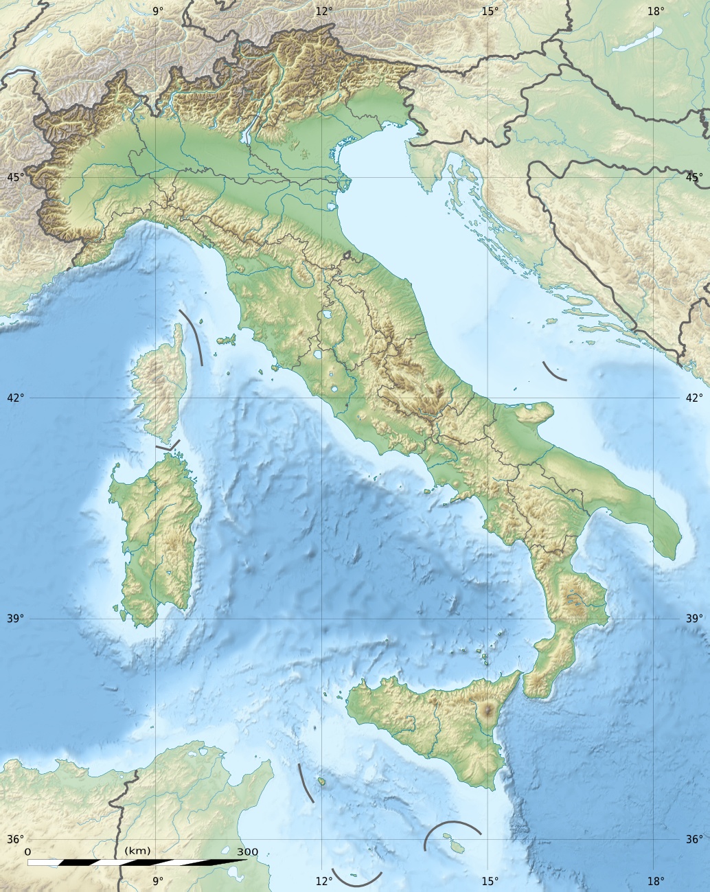
 Italy
ItalyRange Carnic Alps Coordinates 46°37′37″N 12°43′41″E / 46.62694°N 12.72806°ECoordinates: 46°37′37″N 12°43′41″E / 46.62694°N 12.72806°E Monte Chiadenis (Friulian: Cjadenis) is a peak in the Carnic Alps, northern Italy, located between the comuni of Sappada and Forni Avoltri. It has an altitude of 2,459 m (8,068 ft).
During World War I (1915–1917) it was the seat of fierce fightings between Italian alpini and Austrian Kaiserjäger.
In Friulian language cjadenis means "chains".
See also
- War of the Mountains 1915–1918
Categories:- Mountains of the Veneto
- Mountains of Friuli-Venezia Giulia

Wikimedia Foundation. 2010.