- Carnic Alps
Geobox|Range
name=Carnic Alps
other_name= _it. Alpi Carniche |other_name1= _de. Karnische Alpen
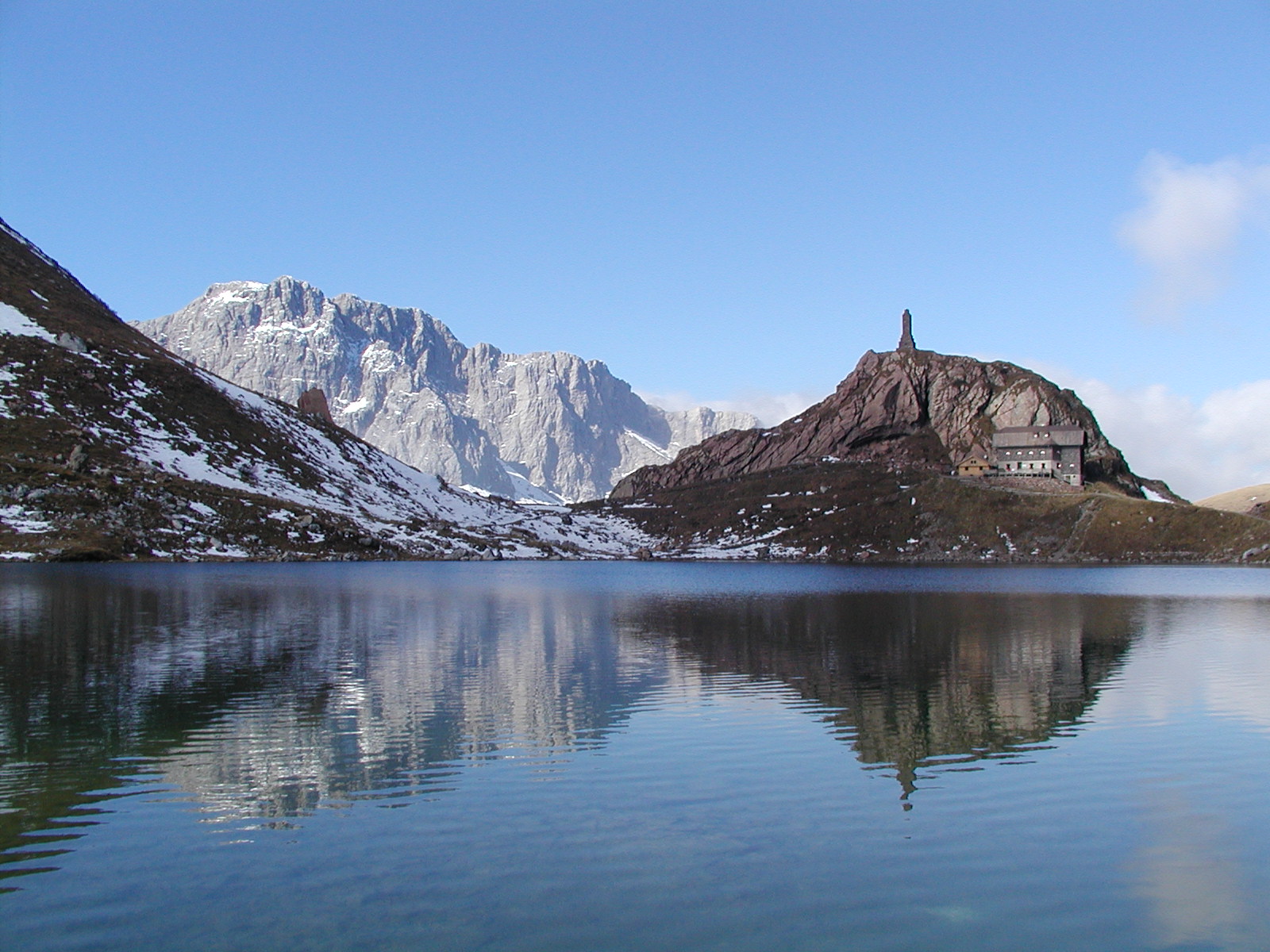
image_caption=Volaia Lake in the Carnic Alps
country=Austria | country1= Italy
region_type=States
region=East Tyrol| region1=Carinthia
region2=Friuli | region3=| region4=
parent=Southern Limestone Alps
highest=Coglians
highest_elevation=2782
highest_lat_d=46|highest_lat_m=36|highest_lat_s=|highest_lat_NS=N
highest_long_d=12|highest_long_m=53|highest_long_s=|highest_long_EW=E
length_imperial=| length_orientation=
width_imperial= | width_orientation=
geology= | period= | orogeny=
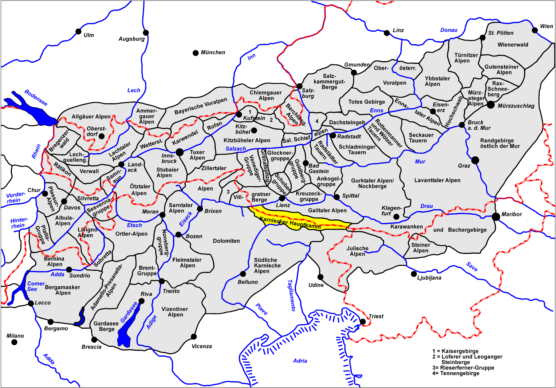
map_caption=Eastern Alps in light grey, Carnic Alps hilighted in yellowThe Carnic Alps ( _it. Alpi Carniche) are a range of theSouthern Limestone Alps inEast Tyrol , Carinthia andFriuli (Province of Udine ). They extend from east to west for about 100 km (65 mi) between theGail River , tributary to theDrava and theTagliamento , forming the border betweenAustria andItaly .They are named after the Roman province of
Carnia , which name probably had aCelt ic origin.The mountains gave their name to the stage on the
geologic time scale known asCarnian .The most important peaks are:
*Coglians (2,782 m)
*Kellerwand (2,775 m)
*Cima dei Preti (2,703 m))
*Monte Cavallo (2,251 m)
*Monte Peralba (2,691 m)
*Monte Cridola (2,581 m)The chief passes of the Carnic Alps are:
*Plöcken Pass (Tolmezzo toKötschach-Mauthen ), road (1,360 m)
*Naßfeld Pass (Pontebba toHermagor-Pressegger See ), road (1,552 m)
*Oefnerjoch (Forni Avoltri to Sankt Lorenzen imLesachtal ), foot path (2,301 m)
*Wolayer Pass (same to Kötschach-Mauthen), foot path (1,922 m)External links
* [http://www.summitpost.org/area/range/152222/carnic-alps.html Carnic Alps on SummitPost]
Wikimedia Foundation. 2010.