- Chances Peak
-
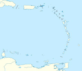
Chances Peak Montserrat, Caribbean Elevation 915 m (3,002 ft) [note 1] Prominence 915 m (3,002 ft) Location Coordinates 16°42′40″N 62°10′38″W / 16.71111°N 62.17722°WCoordinates: 16°42′40″N 62°10′38″W / 16.71111°N 62.17722°W Geology Type Stratovolcano Last eruption January 3, 2009 Chances Peak is the culminant point of the active complex stratovolcano named Soufrière Hills. It is the highest point in Montserrat, a British overseas territory located in the Caribbean Sea.
On 17 September 1965 a Boeing 707 aircraft operating as Pan Am Flight 292 flew into Chances Peak near the summit and was destroyed, killing the 30 people on board.[1]
Contents
See also
Notes
- ^ This elevation is for Chance's Peak, the traditional high point. However the lava dome in English's Crater is currently estimated at over 930 m (2006): see The CIA World Factbook on Montserrat.
References
- ^ Aviation Safety Network N708PA accident synopsis retrieved 2010-06-14
External links
- Montserrat Volcano Observatory (MVO) - Current monitoring of the Soufrière Hills Volcano in Montserrat.
- USGS Info on Soufrière Hills Volcano
- British Geological Survey
Categories:- Landforms of Montserrat
- Volcanoes of Montserrat
- Stratovolcanoes
- Active volcanoes
- Mountains and hills of British overseas territories
- Complex volcanoes
Wikimedia Foundation. 2010.

