- Ceu do Mapia Village
-
Ceu do Mapia — Village — Ceu do Mapia Village Nickname(s): "Mapia) Location in Brazil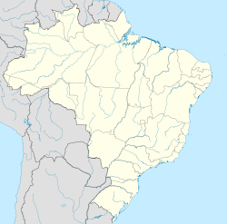
 Ceu do Mapia
Coordinates: 08°17′41″S 67°36′56″W / 8.29472°S 67.61556°W Country  Brazil
Region North State  Amazonas
Founded 1983 Government – Founder Sebastião Mota de Melo Area – Total 2,500 km2 (965.3 sq mi) Elevation 100 m (328 ft) Population (2009) – Total 700 Time zone AST (UTC-4) – Summer (DST) DST no longer used (UTC-4) Postal Code 69860-000 Area code(s) +55 97 Coordinates: 08°17′41″S 67°36′56″W / 8.29472°S 67.61556°W
The Village Céu do Mapiá, founded in 1983 by Sebastião Mota de Melo, is located in the headwaters of Igarapé Mapiá, 19 miles from the Purus River in Amazonian South Mesoregion, between the Purus microregion and Boca do Acre microregion on the City of Pauini. The village is located within the National Reserve of Inauini-Pauini - one of the most preserved areas of the western Brazilian Amazon. In 1990, with the approval of the community, the Brazilian government created by the Decree No. 96 190, of June 21, 1988[1] the Purus National Forest on an area of 256,000 ha, and have the village of Céu do Mapiá as a kind of capital.
References
- ^ Brasil. "Decreto No. 96 190, de 21 de Junho de 1988" (in portuguese). http://www6.senado.gov.br/legislacao/ListaPublicacoes.action?id=132129. Retrieved July 11, 2010.
See also: Santo DaimeCategories:- Amazonas (Brazilian state) geography stubs
- Populated places in Amazonas (Brazilian state)

Wikimedia Foundation. 2010.