- Amotape Hills National Park
-
Amotape Hills National Park IUCN Category II (National Park)Location within Peru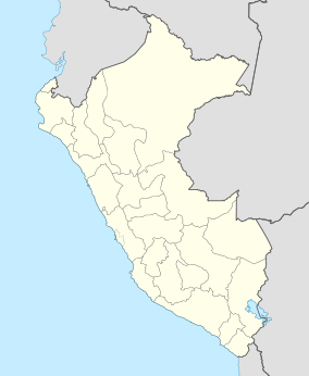

Location Piura Region and Tumbes Region, Peru Coordinates 4°05′49″S 80°34′12″W / 4.097°S 80.57°WCoordinates: 4°05′49″S 80°34′12″W / 4.097°S 80.57°W[1] Area 913 km2 (353 sq mi) Established 1975 The Amotape Hills National Park (Spanish: Parque Nacional Cerros de Amotape) is located around the Amotape District, in the northern section of the Piura Region and the extreme southern section of the Tumbes Region in Peru. It is the best well kept example of equatorial dry forests in the whole Pacific region. Once before these forests covered the whole of Tumbes, Piura and Lambayeque in Peru, and the El Oro and the Guayas coastal provinces in Ecuador.
Many varieties of orchids, shrubs, thorn trees and animals are found in these regions such as the giant sloth bear, the low Andean condor, tigrillo, boa constrictor and the endangered American Crocodile. The national park was officially established on July 22, 1975 and has an area of 913 km2 (353 sq mi).
Climate
Tropical and humid during the summer months, December to April, and a drier savanna climate during the rest of the year. The average temperature is around 27 °C (81 °F), with temperature highs of 42 °C (108 °F) and temperature lows at 16 °C (61 °F). All around the year it is sunny, over 25 °C (77 °F), although summers may turn unbearable.
It is the only Protected Natural Area in Peru where the equatorial dry forest ecoregion is still preserved.
References
- ^ Cerros De Amotape National Park protectedplanet.net
Protected areas of Peru National Parks Alto Purús · Bahuaja-Sonene · Cerros de Amotape · Cordillera Azul · Cutervo · Huascaran · Ichigkat muja - Cordillera del Condor · Manú · Otishi · Abiseo River · Tingo María · Yanachaga-ChemillénNational Sanctuaries Historical Sanctuaries National Reserves Allpahuayo-Mishana · Calipuy · Junin · Lachay · Pacaya-Samiria · Pampa Galeras – Barbara D’Achille · Paracas · Salinas and Aguada Blanca · Tambopata · Titicaca · TumbesWildlife Refuge Landscape Reserves Communal Reserves National Forests Protection Forests Alto Mayo · Adjacent to the Nuevo Imperial Canal Intake · Pagaibamba · Pui–Pui · Puquio Santa Rosa · San Matías–San CarlosHunting enclosed lands Reserved Zones Algarrobal El Moro · Aymara Lupaca · Batán Grande · Chancaybaños · Cordillera de Colán · Cordillera Huayhuash · Güeppí · Pampa Hermosa · Pucacuro · Santiago-Comaina · Tambopata–Candamo · Tumbes
This article related to a protected area in South America is a stub. You can help Wikipedia by expanding it.
