- Centro District, Oaxaca
-
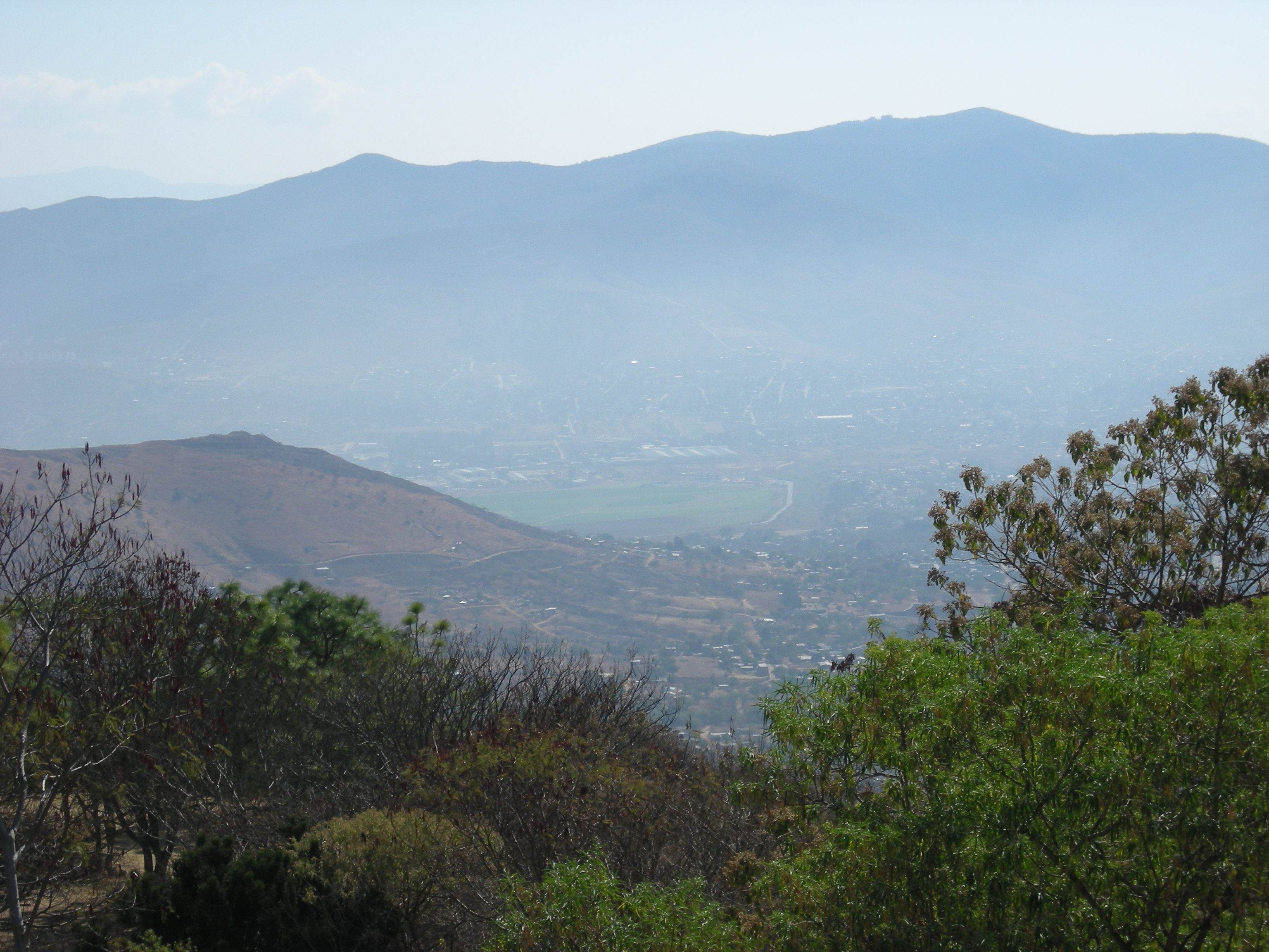
Centro District — District — View of the Valley of Oaxaca from Monte Alban Oaxaca regions and districts: Valles Centrales de Oaxaca in center
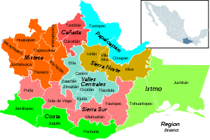
Coordinates: 17°4′N 96°41′W / 17.067°N 96.683°WCoordinates: 17°4′N 96°41′W / 17.067°N 96.683°W Country  Mexico
State Oaxaca Centro District is located in the Valles Centrales Region of the State of Oaxaca, Mexico. The district includes the state capital Oaxaca and satellite towns. The district has an average elevation of 1,550 meters. The climate is mild, with average temperatures ranging from 16°C in Winter to 25°C in spring.[1]
Municipalities
The district includes the following municipalities:[2]
- Animas Trujano, Oaxaca
- Cuilapan de Guerrero
- Oaxaca de Juárez
- San Agustín de las Juntas
- San Agustín Yatareni
- San Andrés Huayapam
- San Andrés Ixtlahuaca
- San Antonio de la Cal
- San Bartolo Coyotepec
- San Jacinto Amilpas
- San Pedro Ixtlahuaca
- San Raymundo Jalpan
- San Sebastián Tutla
- Santa Cruz Amilpas
- Santa Cruz Xoxocotlán
- Santa Lucía del Camino
- Santa María Atzompa
- Santa María Coyotepec
- Santa María del Tule
- Santo Domingo Tomaltepec
- Tlalixtac de Cabrera
-

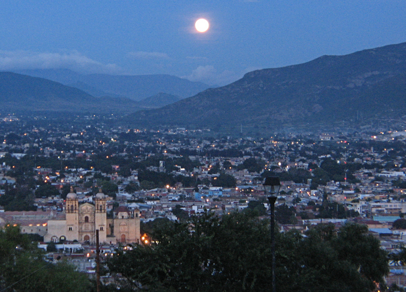
A view of city of Oaxaca de Juarez from the Cerro de Fortín
-

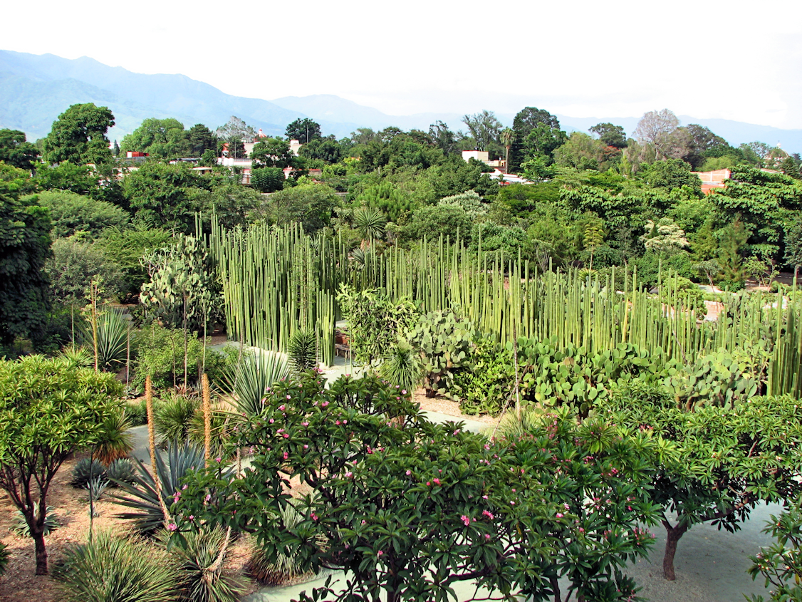
Ethnobotanical Garden at the Temple of Santo Domingo
-

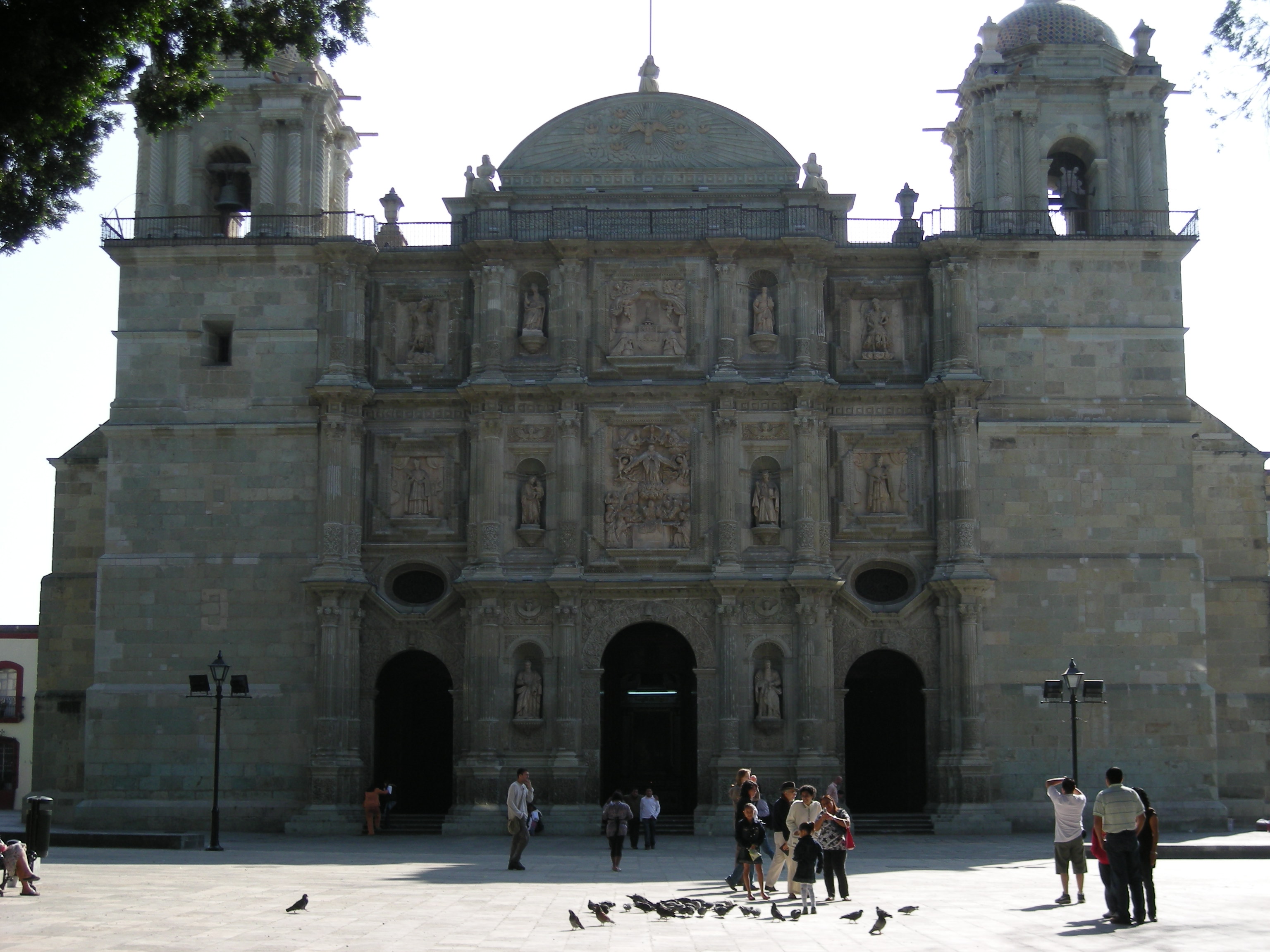
Cathedral of Our Lady of the Assumption, Oaxaca
-

Church of San Bartolo with remains of pyramids to the left
-

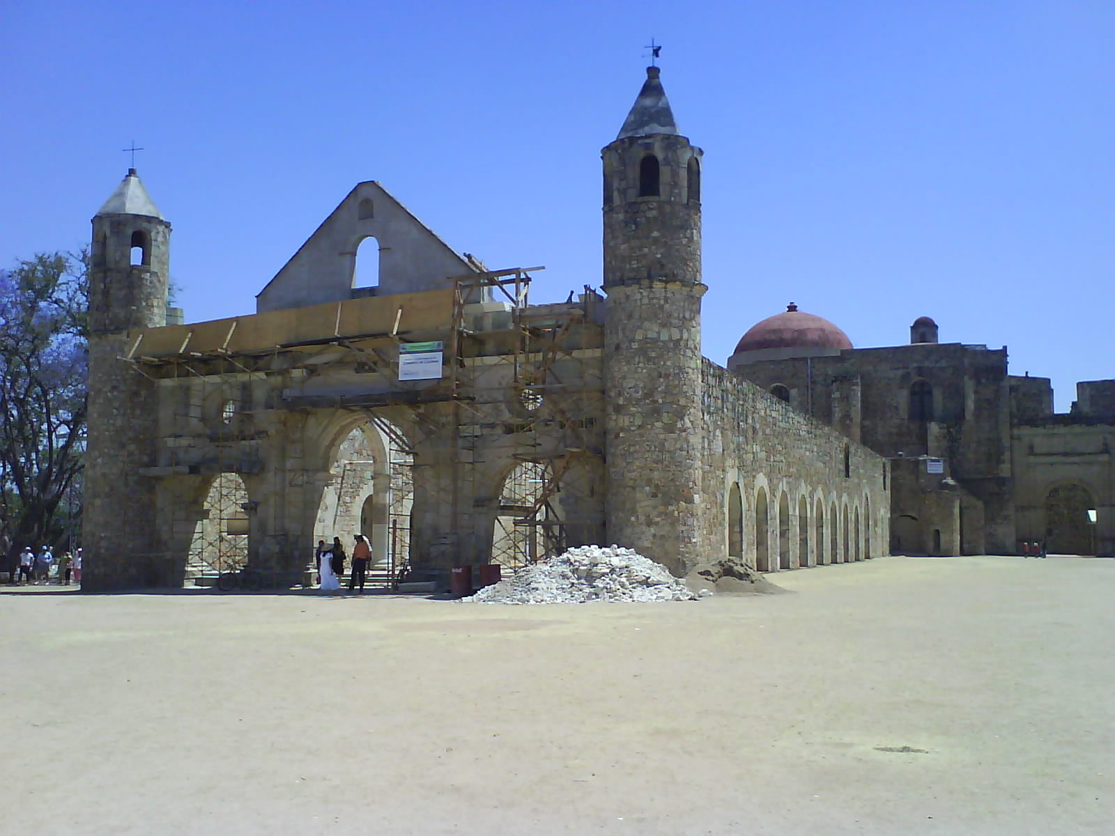
Basilica of Cuilapan
-

Santa Cruz Xoxocotlán Municipal Palace
-

Tule tree with town church in background in Santa Maria de Tule
-

Band passing by the Santa Maria de Tule tree
See also
References
- ^ "El Estado de Oaxaca". Oaxaca Travel Guide. http://oaxaca-travel.com/guide/index.php?section=general&doc=state&lang=es. Retrieved 2010-07-09.
- ^ "Enciclopedia de los Municipios de México: Estado de Oaxaca". http://www.e-local.gob.mx/work/templates/enciclo/oaxaca/. Retrieved 2010-07-08.
Istmo Region Juchitán
TehuantepecCañada Region Teotitlán
CuicatlánPapaloapan Region Tuxtepec
ChoapanSierra Norte Region Valles Centrales Region Sierra Sur Region Costa Region Jamiltepec
Juquila
PochutlaSee also Municipalities of OaxacaSan Andrés Ixtlahuaca
San Antonio de la Cal
San Bartolo Coyotepec
San Jacinto Amilpas
San Pedro IxtlahuacaSan Raymundo Jalpan
San Sebastián Tutla
Santa Cruz Amilpas
Santa Cruz Xoxocotlán
Santa Lucía del CaminoSanta María Atzompa
Santa María Coyotepec
Santa María del Tule
Santo Domingo Tomaltepec
Tlalixtac de CabreraSee also Municipalities of Oaxaca - Districts of Oaxaca
- Oaxaca geography stubs


Wikimedia Foundation. 2010.