- Melchor de Mencos
-
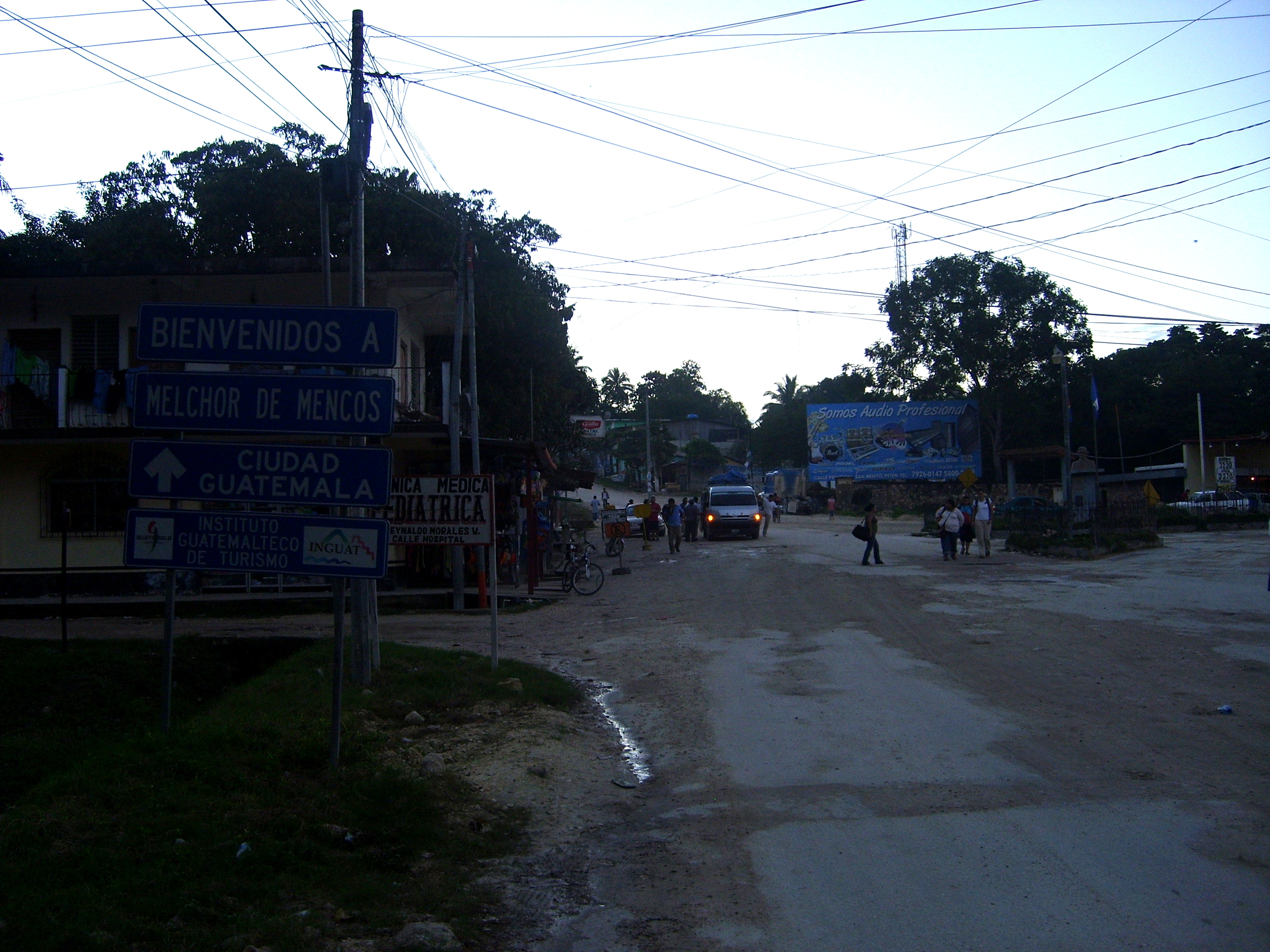
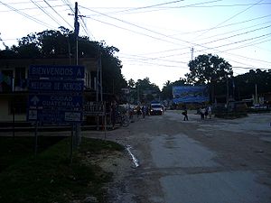 Center of Melchor de Mencos
Melchor de Mencos is a municipality in the Petén department of Guatemala with population 23,813. It is situated on the western border with Belize,a and is the only major border crossing from Guatemala to Belize.
Prior to their relocation in 1989, Melchor de Mencos was home to the two training centres of the Guatemalan Army's élite Kaibiles special operations force.
The Maya archaeological site of La Blanca is located within the municipality.[1]
Notes
- ^ Muñoz Cosme 2006, p.340.
References
-
- Muñoz Cosme, Gaspar (2006). "Estructura urbana y arquitectura en La Blanca, Petén." (PDF online publication). XIX Simposio de Investigaciones Arqueológicas en Guatemala, 2005 (edited by J.P. Laporte, B. Arroyo and H. Mejía). Museo Nacional de Arqueología y Etnología, Guatemala. pp. 340–351. http://www.asociaciontikal.com/pdf/31_-_Gaspar.05_-_Digital.pdf. Retrieved 2010-10-23. (Spanish)
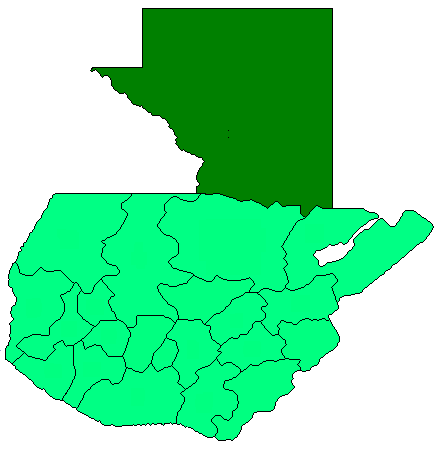
 Petén Department
Capital: Flores Municipalities · Dolores · Flores · La Libertad · Melchor de Mencos · Poptún · San Andrés · San Benito · San Francisco · San José · San Luis · Santa Ana · Sayaxché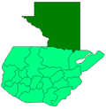 Categories:
- Guatemala geography stubs
- Municipalities of the Petén Department
- Populated places in Guatemala
- Belize–Guatemala border crossings
Wikimedia Foundation. 2010.