- Crookham, Northumberland
-
Coordinates: 55°38′13″N 2°08′06″W / 55.637°N 2.135°W
Crookham 
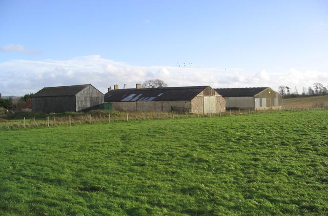
Encampment Farm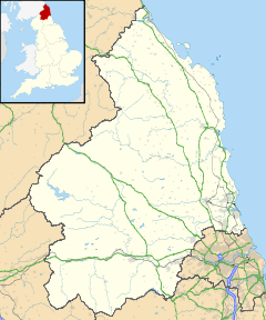
 Crookham
Crookham shown within NorthumberlandOS grid reference NT914380 District Berwick-upon-Tweed Shire county Northumberland Region North East Country England Sovereign state United Kingdom Post town CORNHILL-ON-TWEED Postcode district TD12 Dialling code 01890 Police Northumbria Fire Northumberland Ambulance North East EU Parliament North East England UK Parliament Berwick-upon-Tweed List of places: UK • England • Northumberland Crookham is a village on the River Till in Northumberland, in England. It is situated approximately 8 km (5.0 mi) to the east of Coldstream and 14 km (8.7 mi) northwest of Wooler. It has two farms, which are both west of the village. They are called Crookham Eastfield and Crookham Westfield. Recorded as "Crucum" in 1244, the village name derived from the Old English for "Settlement at the Bend" (of the River Till).
Contents
History
The poet Robert Story was educated for sometime at Crookham.[1]
Landmarks
Crookham contains a Coach House and a Post Office.
References
- ^ "Robert Story". Oxford Dictionary of National Biography (ODNB). http://www.oxforddnb.com/view/article/26600?docPos=2. Retrieved 20 November 2011.
External links
- Northumberland Communities (Accessed: 6 November, 2008)
Categories:- Villages in Northumberland
- Northumberland geography stubs

Wikimedia Foundation. 2010.