- Cunén
-
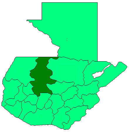
Cunén — Municipality — Location in Guatemala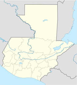
 Cunén
CunénCoordinates: 15°20′15″N 91°02′00″W / 15.3375°N 91.0333333°W Country  Guatemala
Department El Quiché Municipality Cunén Government – Type Municipal – Mayor Area – Municipality 168 km2 (64.9 sq mi) Elevation 1,827 m (5,994 ft) Population (Census 2002) – Municipality 25,595 – Urban 6,198 – Ethnicities K'iche', Ladino – Religions Roman Catholicism, Evangelicalism, Maya Cunén is a municipality in the El Quiché department of Guatemala. The municipality covers 168 square kilometers. At an average altitude of 1,827 meters above sea level, its climate is temperate. It is 68 kilometers from the departmental capital, Santa Cruz del Quiché, as measured by paved road. Tourist attractions include Las Grutas and the El Chorro waterfall.
Coordinates: 15°20′N 91°02′W / 15.333°N 91.033°W
Capital: Santa Cruz del QuichéMunicipalities · Canillá · Chajul · Chicaman · Chiché · Chichicastenango · Chinique · Cunén · Joyabaj · Nebaj · Sacapulas · Patzité · Pachalum · Playa Grande Ixcán · San Andrés Sajcabajá · San Antonio Ilotenango · San Bartolomé Jocotenango · San Juan Cotzal · San Pedro Jocopilas · Santa Cruz del Quiché · Uspantán · Zacualpa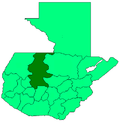 Categories:
- Guatemala geography stubs
- Municipalities of the Quiché Department
- Populated places in Guatemala

Wikimedia Foundation. 2010.