- Surrey Hills AONB
Geobox Protected Area
name = Surrey Hills
native_name =
other_name =
other_name1 =
category_local =Area of Outstanding Natural Beauty
category_iucn =
image_size = 300
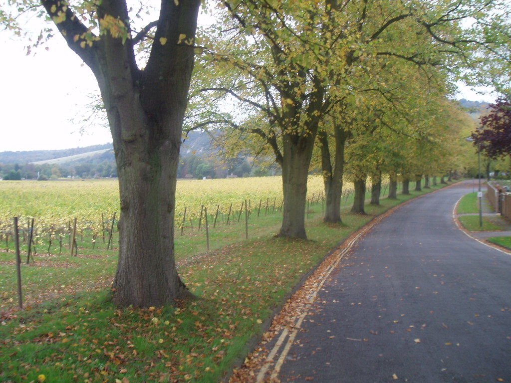
image_caption = Residential roads inDorking , borderingvineyard s on the side of theNorth Downs
country = England
region =Surrey
region_type = County
location = south-east England
lat_d =
lat_m =
lat_s =
lat_NS =
long_d =
long_m =
long_s =
long_EW =
elevation =
biome =
biome_share =
biome1 =
biome1_share =
geology =
geology1 =
plant =Bracken ,Bramble
plant1 =
animal = Adder,Deer ,Fox ,Jay ,Magpie ,Whinchat ,Woodlark
animal1 =
area =
area1 =
area1_type =
length =
length_orientation =
width =
width_orientation =
highest =
highest_location =Leith Hill
highest_lat_d =
highest_lat_m =
highest_lat_s =
highest_lat_NS =
highest_long_d =
highest_long_m =
highest_long_s =
highest_long_EW =
highest_elevation = 294
lowest =
lowest_location =
lowest_lat_d =
lowest_lat_m =
lowest_lat_s =
lowest_lat_NS =
lowest_long_d =
lowest_long_m =
lowest_long_s =
lowest_long_EW =
lowest_elevation =
established_type =
established =
established1_type =
established1 =
management_body =
management_location =
management_lat_d =
management_lat_m =
management_lat_s =
management_lat_NS =
management_long_d =
management_long_m =
management_long_s =
management_long_EW =
management_elevation =
visitation =
visitation_year =
free_type =
free =
free1_type =
free1 =
map_locator_x =
map_locator_y =
map_size =
map_caption =
map_first =
website =The Surrey Hills is an
Area of Outstanding Natural Beauty (AONB) inSurrey ,England ,UK . It adjoins theKent Downs AONB to the east and the Wealden portion of the Sussex Downs AONB in the south west. The highest summit of the hill range isLeith Hill nearColdharbour , at some 294m (965 ft) above sea level, or exactly 1,000 ft above sea level if the hill's viewing tower is considered.The Surrey Hills area has three long-distance walks running through it. These are the
North Downs Way , theGreensand Way and thePilgrims' Way .Blackheath Common now threatened by gas and oil drilling, is also part of this area.The northern ridge of these hills is predominantly formed by
chalk and the southern ridges are predominantlygreensand . They provide a haven for manyrare plant s andinsect s. Parts of the area are owned and managed by the National Trust, includingRanmore Common ,Leith Hill and Box Hill.Chiddingfold Forest is aSite of Special Scientific Interest (SSSI) which lies within the area.External links
* [http://www.surreyhills.org/ Surrey Hills AONB]
Wikimedia Foundation. 2010.