- Mashbury
-
Mashbury is a civil parish in the Chelmsford district of Essex.
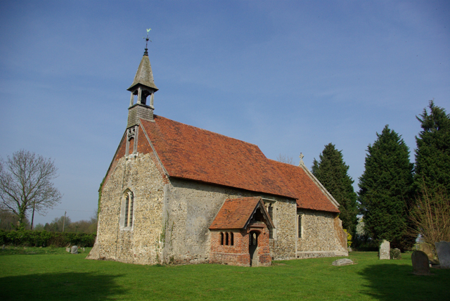
 Mashbury parish church
External links
Coordinates: 51°46′43″N 0°23′36″E / 51.77868°N 0.39329°E
Contiguous with Chelmsford: Broomfield • Chelmer Village • Great Baddow • Moulsham • North Melbourne • Springfield • Widford Towns: 
Villages & Hamlets: Bicknacre • Boreham • Chalk End • Chatham Green • Chignal St James • Chignall Smealy • Cooksmill Green • Danbury • Downham • East Hanningfield • Fanner's Green • Ford End • Galleywood • Galleyend • Good Easter • Great Leighs • Great Oxney Green • Great Waltham • Highwood • Howe Green • Howe Street • Little Baddow • Little Leighs • Littley Green • Little Waltham • Margaretting • Margaretting Tye • Mashbury • Newney Green • North End • Pepper's Green • Pleshey • Ramsden Heath • Rettendon • Rettendon Place • Roxwell • Runwell • Sandon • South Hanningfield • Stock • Tye Green • West Hanningfield • Woodham Ferrers • WrittleChelmsford is the county town of Essex
List of places in EssexCategories:- Chelmsford
- Civil parishes in Essex
Wikimedia Foundation. 2010.