- Hagerstown, Indiana
Infobox Settlement
official_name = Town of Hagerstown, Indiana
settlement_type =Town
nickname =
mapsize = 250x200px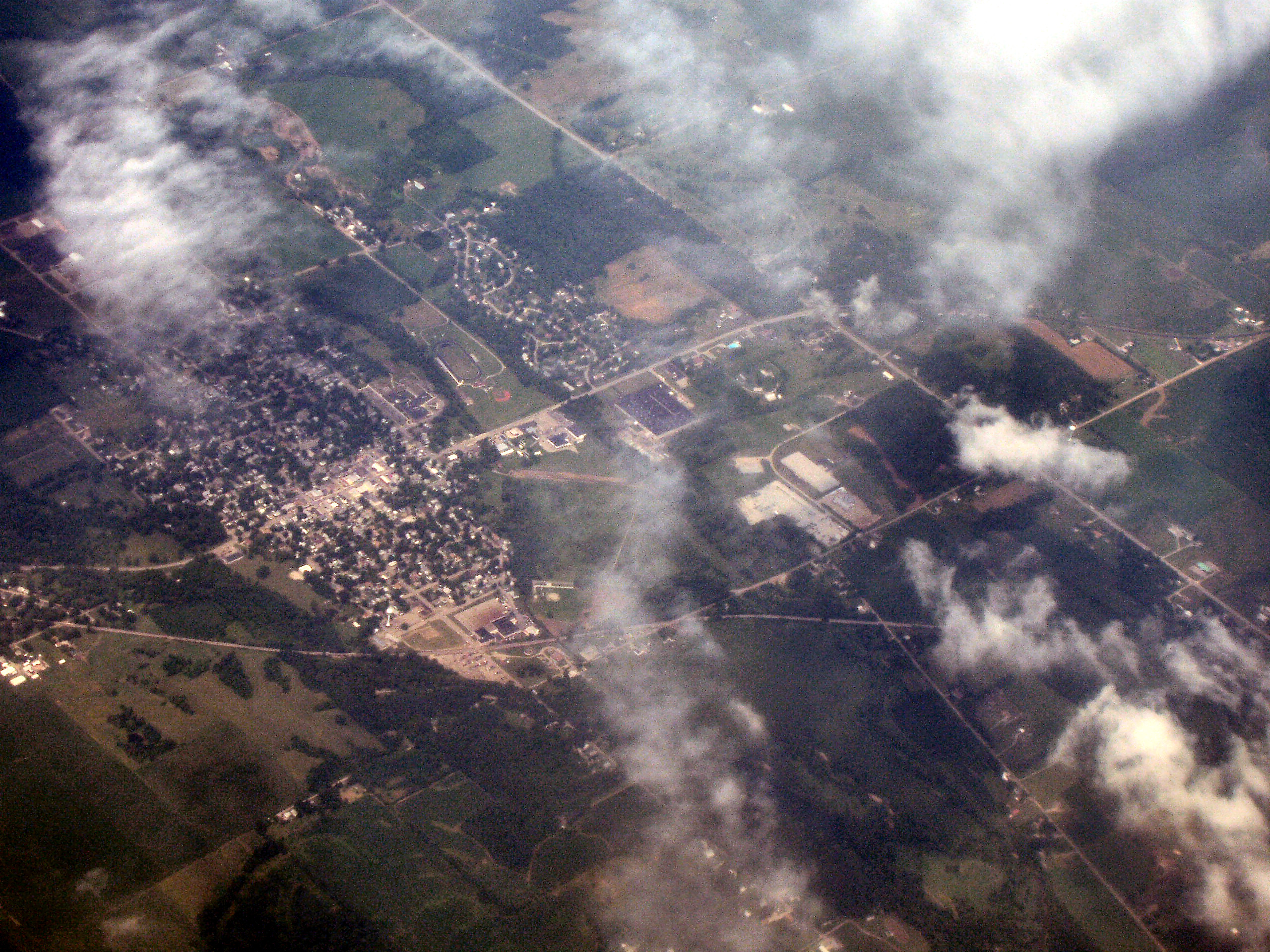
imagesize = 250px
image_caption = Hagerstown from the air, looking northeast.
map_caption = Location in the state ofIndiana
mapsize1 =
map_caption1 =
subdivision_type = Country
subdivision_name =United States
area_footnotes =
unit_pref = Imperial
subdivision_type1 = State
subdivision_name1 =Indiana
subdivision_type2 = County
subdivision_name2 = Wayne
subdivision_type3 = Township
subdivision_name3 = Jefferson
government_type =
leader_title =
leader_name =
established_date =
area_magnitude = 1 E6
area_total_km2 = 3.6
area_land_km2 = 3.6
area_water_km2 = 0.0
population_as_of = 2000
population_note =
population_total = 1768
population_density_km2 = 491.1
timezone = EST
utc_offset = -5
timezone_DST = EDT
utc_offset_DST = -4
area_total_sq_mi = 1.4
area_land_sq_mi = 1.4
area_water_sq_mi = 0.0
elevation_m = 317
elevation_ft = 1040
latd = 39 |latm = 54 |lats = 41 |latNS = N
longd = 85 |longm = 9 |longs = 38 |longEW = W
postal_code_type =ZIP code
postal_code = 47346
area_code = 765
blank_name = FIPS code
blank_info = 18-30402GR|2
blank1_name = GNIS feature ID
blank1_info = 0452048GR|3
footnotes =
website = http://www.hagerstown.in.gov/Hagerstown is a town in Jefferson Township, Wayne County,
Indiana ,United States . As of the 2000 census, the population was 1,768. Hagerstown is locally famous for the four-star Welliver's Smorgasbord restaurant.History
The
Whitewater Canal , which was built in the mid 1800s and extends toLawrenceburg, Indiana , has its northern terminus in Hagerstown. This section was funded by theHagerstown Canal Company .Hagerstown was once home to
The Perfect Circle Co. , which manufactured piston rings.Geography
Hagerstown is located at coor dms|39|54|41|N|85|9|38|W|city (39.911307, -85.160564)GR|1.The town lies 61
miles (99kilometres ) ENE ofIndianapolis, Indiana , 17 miles (27 kilometres) NW ofRichmond, Indiana , and 63 miles (102 kilometres) WNW ofDayton, Ohio in the Midwestern region of the United States.According to the
United States Census Bureau , the town has a total area of 1.4square mile s (3.6km² ), all of it land. Terrain surrounding Hagerstown consists of flat land at an elevation of roughly 1000 feet above sea level that is used primarily for agriculture.Demographics
As of the
census GR|2 of 2000, there were 1,768 people, 787 households, and 498 families residing in the town. Thepopulation density was 1,276.0 people per square mile (491.1/km²). There were 832 housing units at an average density of 600.5/sq mi (231.1/km²). The racial makeup of the town was 99.26% White, 0.28% African American, 0.06% Native American, 0.11% Asian, 0.06% from other races, and 0.23% from two or more races. Hispanic or Latino of any race were 0.34% of the population.There were 787 households out of which 28.8% had children under the age of 18 living with them, 52.5% were married couples living together, 8.4% had a female householder with no husband present, and 36.6% were non-families. 34.6% of all households were made up of individuals living alone and 16.6% had someone living alone who was 65 years of age or older. The average household size was 2.25 and the average family size was 2.86.
In the town the population was spread out with 24.0% under the age of 18, 7.0% from 18 to 24, 28.1% from 25 to 44, 23.9% from 45 to 64, and 17.1% who were 65 years of age or older. The median age was 39 years. For every 100 females there were 85.5 males. For every 100 females age 18 and over, there were 82.1 males.
The
median income for a household in the town was $36,691, and the median income for a family was $48,864. Males had a median income of $35,536 versus $25,913 for females. Theper capita income for the town was $20,901. About 0.8% of families and 1.8% of the population were below thepoverty line , including none of those under age 18 and 0.9% of those age 65 or over.ites of interest
* [http://www.hartleyhillsgolf.com/ Hartley Hills Country Club] - Nine hole public golf course
* [http://www.abbottscandy.com/ Abbott's Candy & Two Sisters Gift Shop] -Candy factory and unique gift shop
* [http://www.waynet.org/nonprofit/nettlecreek_museum.htm Nettle Creek Valley Museum]
*Welliver's Smorgasboard, four star restaurant known for its greatAmerican cuisine .
*Hagerstown Park -Playground ,hiking trails, sport fields, picnic areas
*Hagerstown Nature Preserve
*Near Hagerstown andMillville, Indiana is theWilbur Wright Birthplace and [http://www.wwbirthplace.com/ Museum] .
*Hagerstown is the home of [http://www.tedcotoys.com/index.html Tedco] , an education and science toy manufacturer. The company is famous for itsgyroscopes .
*TheAmerican Communications Network (publishing and communications company) operates in Hagerstown.Education
Hagerstown Elementary and Hagerstown Jr./Sr. High School provide education for Hagerstown and smaller communities nearby. Hagerstown Jr./Sr. High School occupies a large campus which includes an outdoor laboratory and sporting facilities.
Education links:
* [http://www.nettlecreek.k12.in.us/HHS.php Hagerstown Jr./Sr. High School]
* [http://www.nettlecreek.k12.in.us/HES.php Hagerstown Elementary]Famous natives
*
Omer Madison Kem : Americanpolitician .
*Ralph Teetor : Inventor of thecruise control and president of thePerfect Circle Co rporation.
*Clark Wissler : Americananthropologist and formerCurator ofEthnography at theAmerican Museum of Natural History .Transportation
Hagerstown is situated on State Road 38, which travels through the town and intersects with State Road 1. Directly south of the town is
Interstate 70 , making travel or commute to larger cities such asIndianapolis orRichmond, Indiana a possibility.By air, Hagerstown is served by the
Hagerstown Airport . This is a public use airport and utilizes a grass runway.Municipal Partnerships
* (unofficial)
External links
* [http://www.hagerstown.in.gov/ Official website]
* [http://www.waynet.org/community/hagerstown/ Hagerstown on waynet.org]
* [http://www.city-data.com/city/Hagerstown-Indiana.html Hagerstown City Data w/ Photos]
* [http://www.waynet.org/waynet/spotlight/2003/030521-perfectcircle.htm Story of Perfect Circle]
* [http://www.yellowairplane.com/Museums/indiana_museums.htm Airplane Museums in Indiana]
* [http://www.wunderground.com/US/IN/Hagerstown.html Current Hagerstown Weather]
* [http://www.indcanal.org/canals-whitewater.html Whitewater Canal]References

Wikimedia Foundation. 2010.