- Maloja Pass
-
Maloja Pass 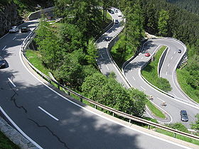
Maloja Pass roadElevation 1,815 m (5,955 ft) Traversed by Road Location Location of Maloja Pass
 Maloja Pass
Location  Switzerland
Range Alps Coordinates 46°24.06′N 09°41.7′E / 46.401°N 9.695°ECoordinates: 46°24.06′N 09°41.7′E / 46.401°N 9.695°E 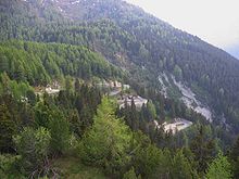 Maloja Pass road
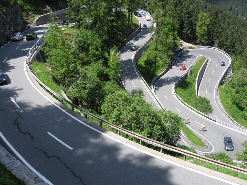
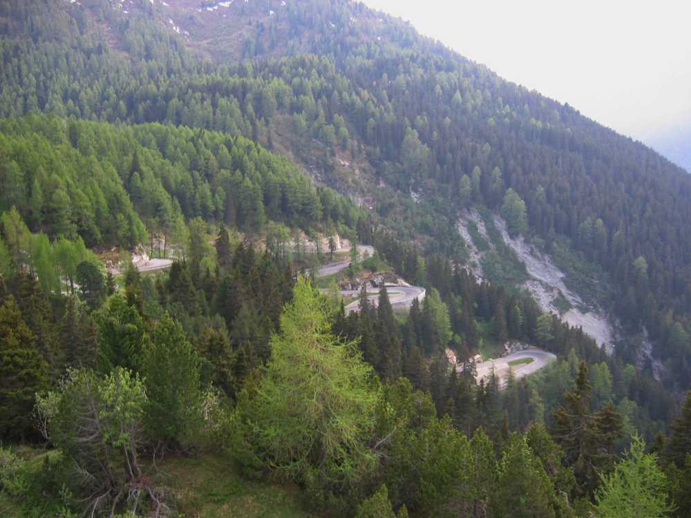
Maloja Pass (Italian: Passo del Maloja, German: Malojapass) (el. 1815 m.) is a high mountain pass in the Swiss Alps in the canton of Graubünden, linking the Engadin with the Val Bregaglia and Chiavenna in Italy. It marks the watershed between the Danube and Po basins.
The road from Chiavenna to Silvaplana with distances and elevation:
- 0 km Chiavenna 333 m
- 10 km Castasegna (Italian-Swiss border) 696 m
- 13 km Promontogno 802 m
- 16 km Stampa 994 m
- 18 km Borgonovo 1029 m
- 19 km Vicosoprano 1065 m
- 27 km Casaccia 1458 m
- 32 km Maloja Pass 1815 m
- 33 km Maloja (village) 1809 m
- 40 km Sils/Segl 1798 m
- 44 km Silvaplana 1802 m
Maloja pass is open in winter. However, after a snowfall the road may be closed for a couple of hours or for an entire day. Even if open, the road might be covered with snow—winter tires or chains would help.
See also
- List of highest paved roads in Europe
- List of mountain passes
- List of the highest Swiss passes
External links
Categories:- Mountain passes of Switzerland
- Engadin
- Mountain passes of Graubünden
- Val Bregaglia

Wikimedia Foundation. 2010.