- Nufenen Pass
-
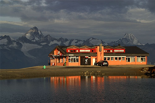
Nufenen Pass 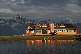
View from the pass towards the Bernese Alps and the Finsteraarhorn (left)Elevation 2,478 m (8,130 ft) Location Location of Nufenen Pass
 Nufenen Pass
Location  Switzerland
Range Alps Coordinates 46°28′41″N 08°23′35″E / 46.47806°N 8.39306°ECoordinates: 46°28′41″N 08°23′35″E / 46.47806°N 8.39306°E Nufenen Pass (Italian: Passo della Novena, German: Nufenenpass) (el. 2478 m.) is the highest mountain pass in the Swiss Alps. It lies between the summits of Pizzo Gallina (north) and Nufenestock (south).
The pass road from Ulrichen in canton of Valais leads to the Bedretto valley in the canton of Ticino, linking Brig to Airolo.
The pass is of relatively recent construction, having been opened to traffic only since September 1969.[1]
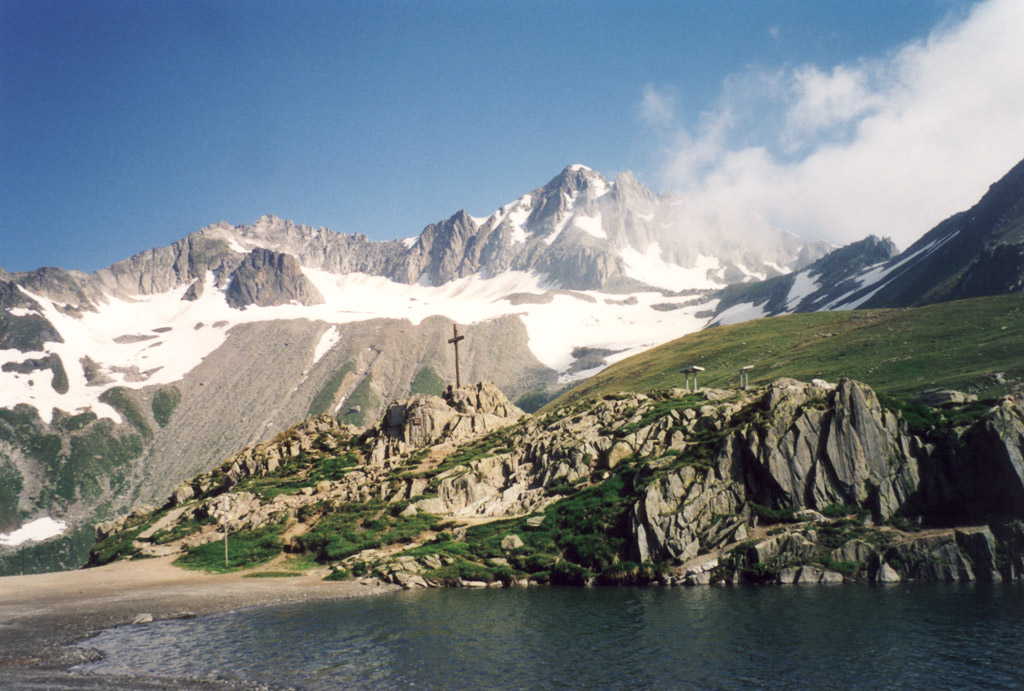
To the east of the top of the pass is the source of the Ticino River. Towards the north is a spectacular view of the Bernese Alps, notably the Finsteraarhorn while there is a view over the Gries Glacier to the south.
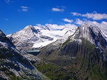 View of Griesgletscher from the pass
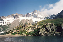 An other view from the pass
See also
- List of highest paved roads in Europe
- List of mountain passes
Sources and further reading
- This article incorporates information from the equivalent article in the German Wikipedia, consulted during April 2009.
- ^ "News and Views: new Swiss Pass". Autocar 131 (nbr 3834): page 50. date 14 August 1969.
External links
Categories:- Mountain passes of Ticino
- Mountain passes of the Alps
- Mountain passes of Valais
- Valais geography stubs
- Ticino geography stubs


Wikimedia Foundation. 2010.